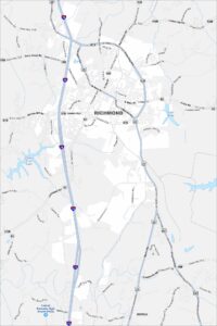
Map of Richmond, Kentucky
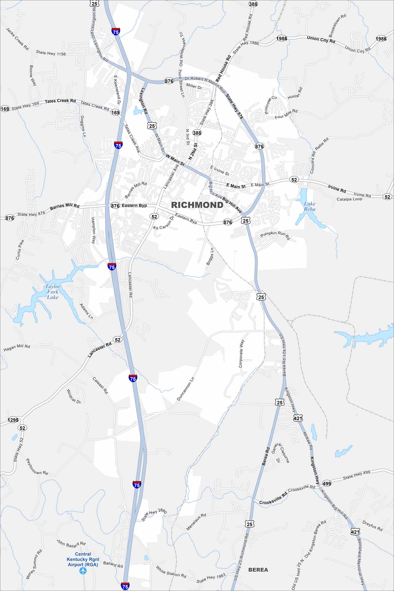
At the heart of the Bluegrass Region, Richmond is home to Eastern Kentucky University. Our map helps you see the layout of the town and its nearby parks.
Kentucky State Maps
Our Kentucky maps reveal the Bluegrass State


Map Information
On the Map
Interstates/Highways: I-75, US Hwy 25, US Hwy 421, State Rte 52, State Rte 169, State Rte 388, State Rte 499, State Rte 876, State Rte 1986 Major Roads: Eastern Byp, Dr Robert R Martin Byp, W Main St, E Main St, Barnes Mill Rd, Tates Creek Rd, Lancaster Rd, Berea Rd, Kingston Hwy, Big Hill Ave, Goggins Ln, Lexington Rd, Duncannon Ln, Four Mile Rd, Red House Rd, Union City Rd, Boonesborough Rd, Boggs Ln, Corporate Way, Menelaus Rd Airports: Central Kentucky Rgnl Airport (RGA) Lakes and Reservoirs: Lake Reba, Taylor Fork Lake Nearby Communities: BereaCity Maps of Kentucky
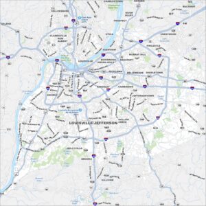
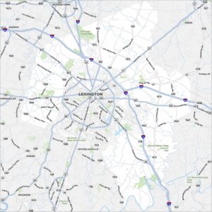
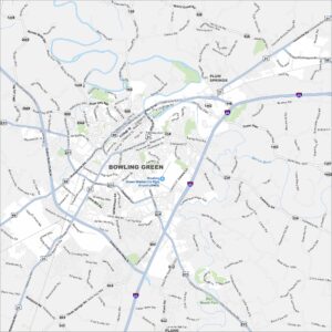
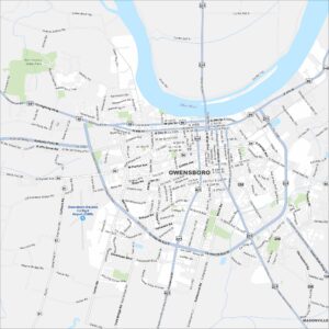
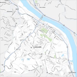
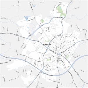
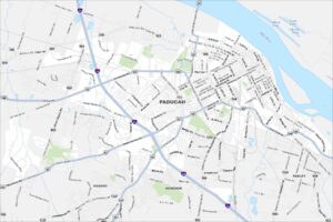
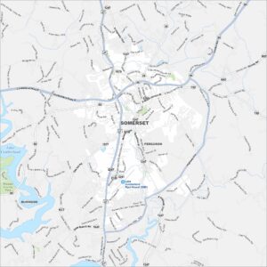
Here are Kentucky’s cities in full detail