Map of Radford, Virginia
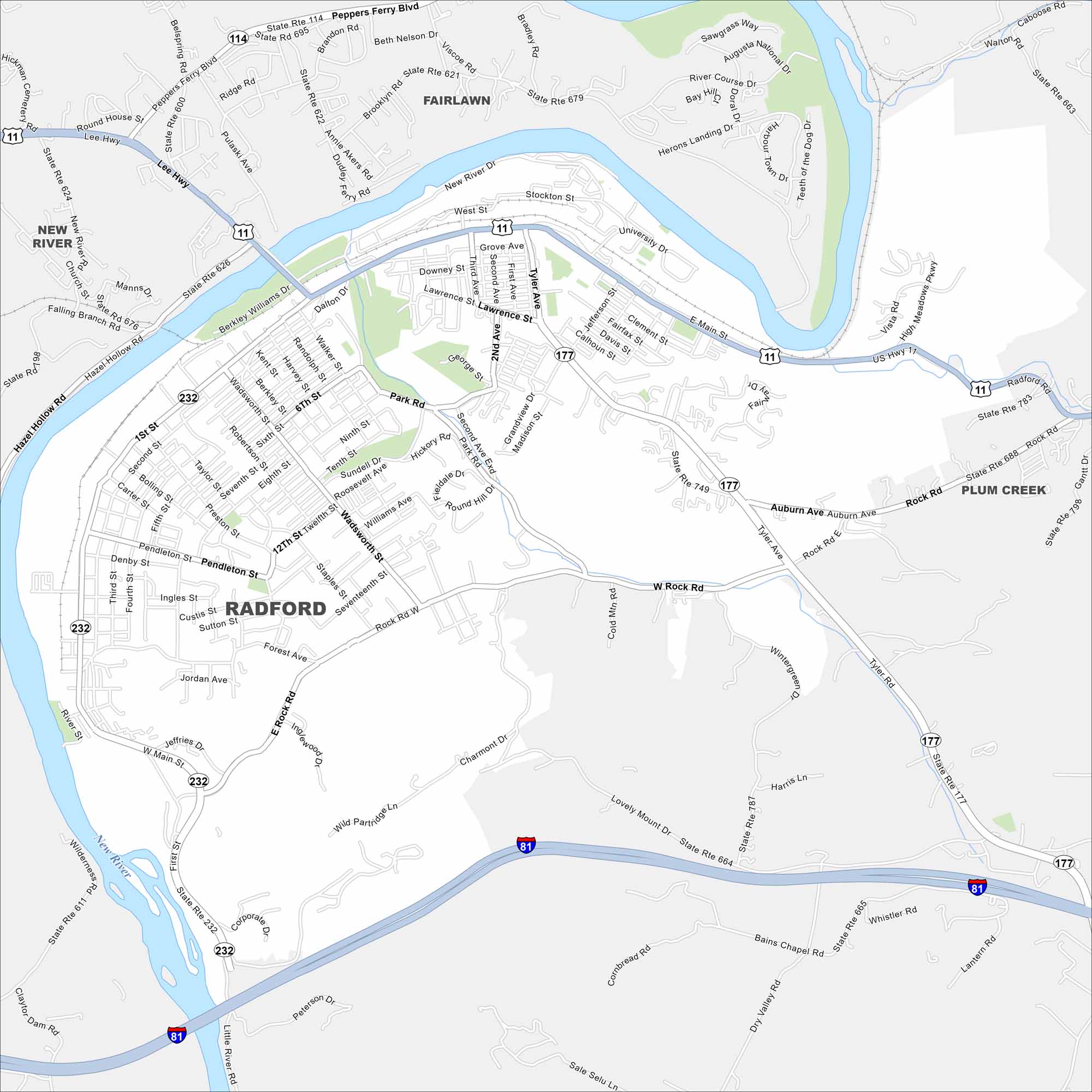
Radford sits on a bend of the New River in southwest Virginia. Our map shows the roads that follow the river valley. Outdoor recreation is central to life in this small city, especially along the river.
Map Information
On the Map
Interstates/Highways: I-81, US Hwy 11, State Rte 114, State Rte 177, State Rte 232 Major Roads: Main St, Rock Rd, Tyler Ave, Lawrence St, Wadsworth St, Second Ave, Seventh St, Tenth St, Twelfth St, First St, Forest Ave, Wild Partridge Ln, Lovely Mount Dr, Bains Chapel Rd, Peppers Ferry Blvd, Lee Hwy, New River Dr, University Dr, Auburn Ave, River Course Dr Major Rivers: New River Nearby Communities: Fairlawn, New River, Plum CreekVirginia State Maps
Spanning coasts and mountains, here are our maps of Virginia.


City Maps of Virginia
Traverse Virginia using our city maps


