Map of Quincy, Illinois
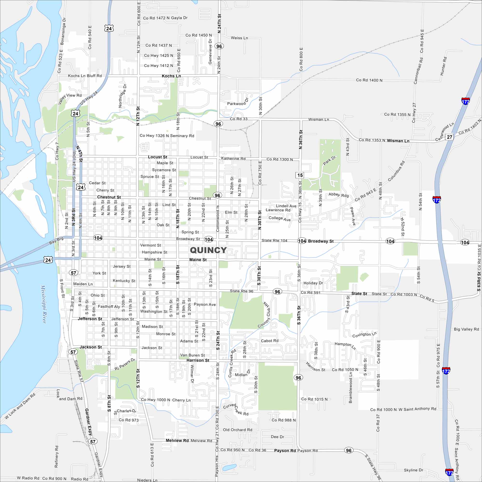
Our map shows Quincy, perched on the Mississippi River. You’ll see highways, lakes and parks mapped clearly. The city’s riverfront bluffs give it a distinctive landscape.
Illinois State Maps
Get to know Illinois with our state maps


Map Information
On the Map
Interstates/Highways: I-172, US Hwy 24, State Rte 104, State Rte 57, State Rte 96 Major Roads: Broadway St, Main St, 24th St, 36th St, 12th St, 8th St, 48th St, 54th St, Wismann Ln, Locust St, Chestnut St, State St, Harrison St, Jackson St, Payson Rd, Gardner Expy, Kochs Ln, 5th St, 18th St, 30th St Major Rivers: Mississippi River Nearby Communities: Payson HtsIllinois City Maps
Explore Chicago and urban regions of Illinois


