Map of Prairie Village, Kansas
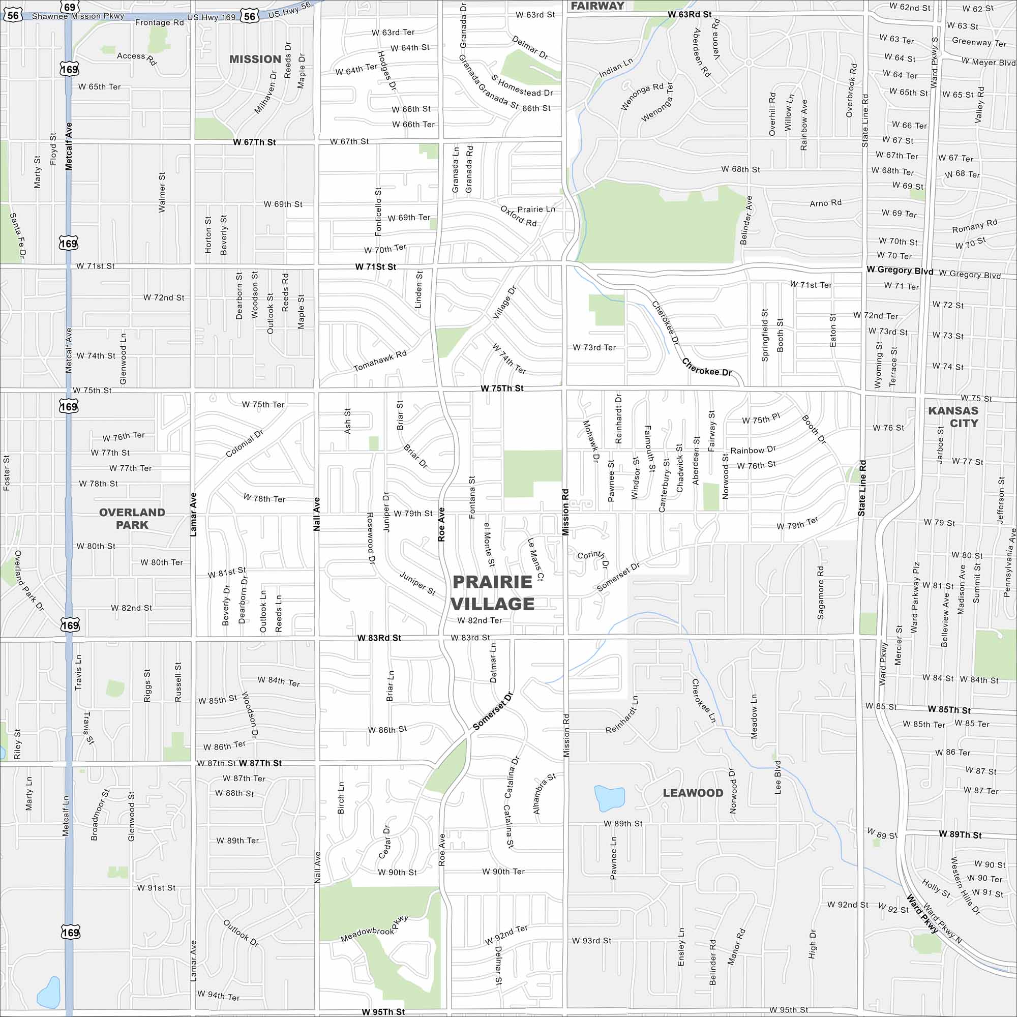
Set in Johnson County, Prairie Village is a planned community in the state of Kansas. This map highlights major roads, neighborhoods, and green spaces.
Kansas State Maps
Explore every corner of Kansas with our state maps


Map Information
On the Map
Interstates/Highways: US Hwy 169, US Hwy 56, State Hwy 58 Major Roads: 75th St, 83rd St, 95th St, Mission Rd, Roe Ave, Nall Ave, State Line Rd, Metcalf Ave, Tomahawk Rd, Somerset Dr, 63rd St, 67th St, 71st St, 79th St, 87th St, 91st St, Lamar Ave, Belinder Ave, Rainbow Blvd, W Gregory Blvd Nearby Communities: Overland Park, Leawood, Fairway, Mission, Kansas CityCity Maps of Kansas
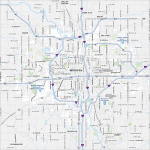
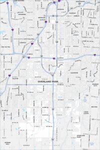
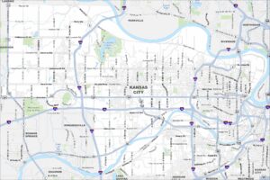
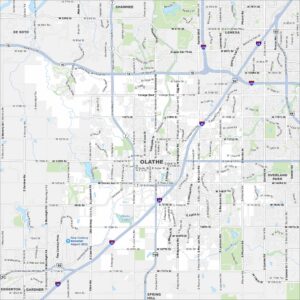
See our maps of Wichita and other urban centers