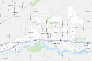
Map of Post Falls, Idaho
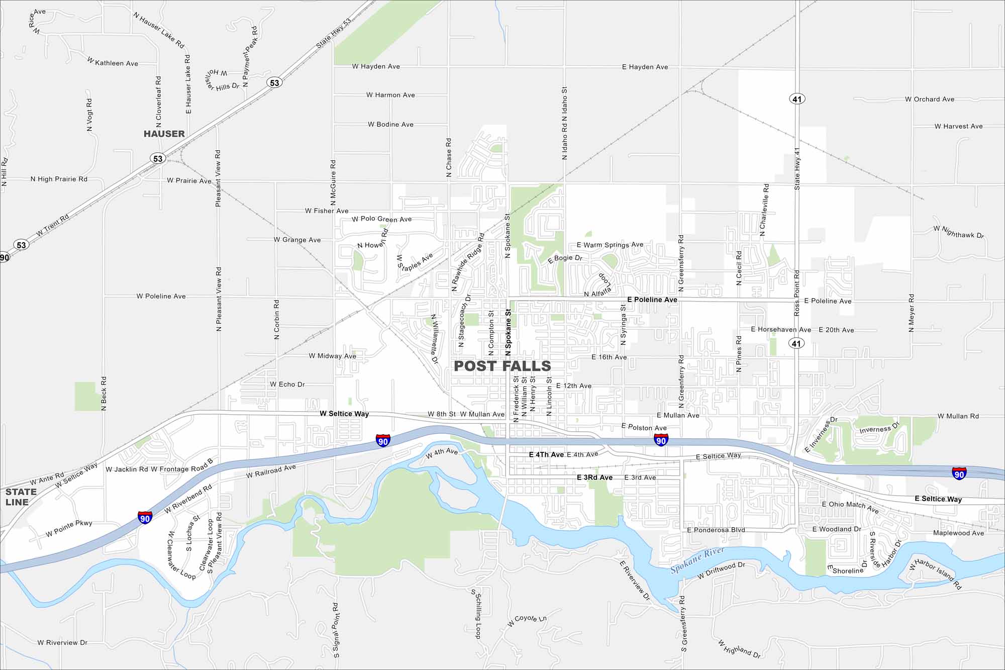
Post Falls lies along the Spokane River near Coeur d’Alene. The river shapes green spaces and recreation areas. Mountains and forests surround the city, making it popular for outdoor activities.


Map Information
On the Map
Interstates/Highways: I-90, State Rte 41, State Rte 53 Major Roads: Seltice Way, Mullan Ave, Spokane St, Pleasant View Rd, Poleline Ave, Prairie Ave, Hayden Ave, Riverbend Rd, 4th Ave, 12th Ave, 16th Ave, Greensferry Rd, Chase Rd, McGuire Rd, Huetter Rd, Cecil Rd, Meyer Rd, Beck Rd, Trent Rd, Grange Ave Major Rivers: Spokane River Nearby Communities: Hauser, State LineIdaho City Maps
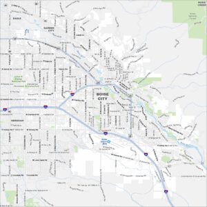
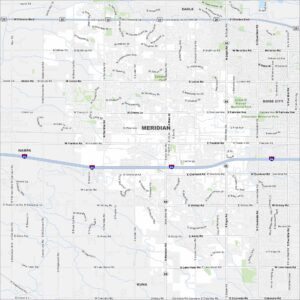
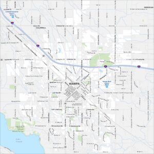
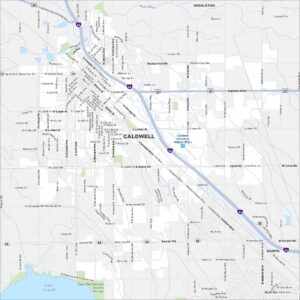
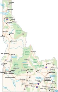
Boise and Idaho city maps right when you need them most