Map of Plainfield, Illinois
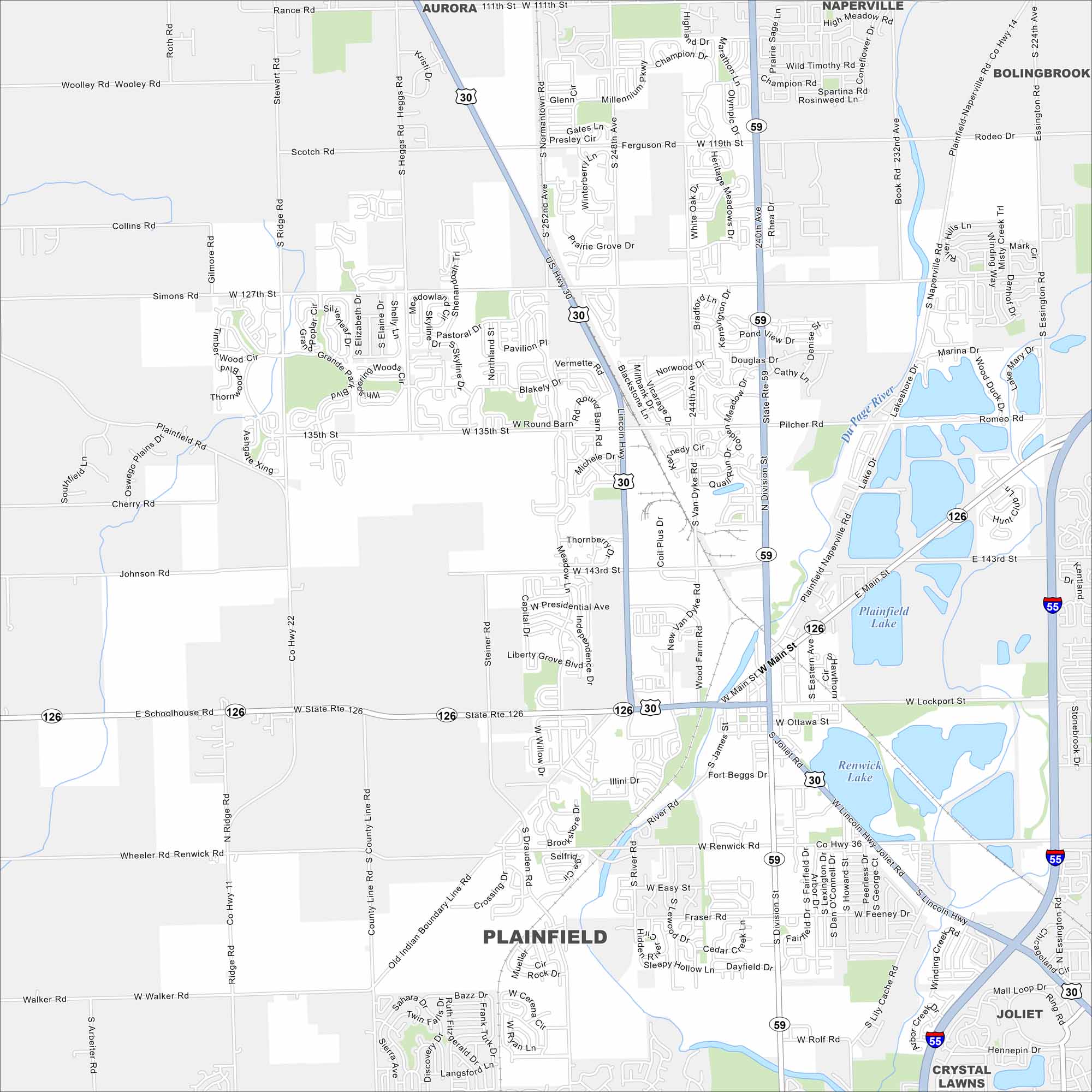
Check out our Plainfield map, which sits along the DuPage River southwest of Chicago. This map shows suburban sprawl mixed with farmland edges. Its old downtown still carries a small-town feel.
Illinois State Maps
Get to know Illinois with our state maps


Map Information
On the Map
Interstates/Highways: US Hwy 30, State Rte 59, State Rte 126, I-55, Lincoln Hwy Major Roads: Division St, Joliet Rd, Lockport St, Renwick Rd, Main St, 143rd St, 135th St, 111th St, 119th St, 127th St, Naperville Rd, Ridge Rd, Heggs Rd, County Line Rd, Steiner Rd, Drauden Rd, River Rd, Essington Rd, Theodore St Lakes and Reservoirs: Plainfield Lake, Renwick Lake Major Rivers: Du Page River Nearby Communities: Aurora, Naperville, Bolingbrook, Joliet, Crystal LawnsIllinois City Maps
Explore Chicago and urban regions of Illinois


