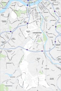
Map of Paducah, Kentucky
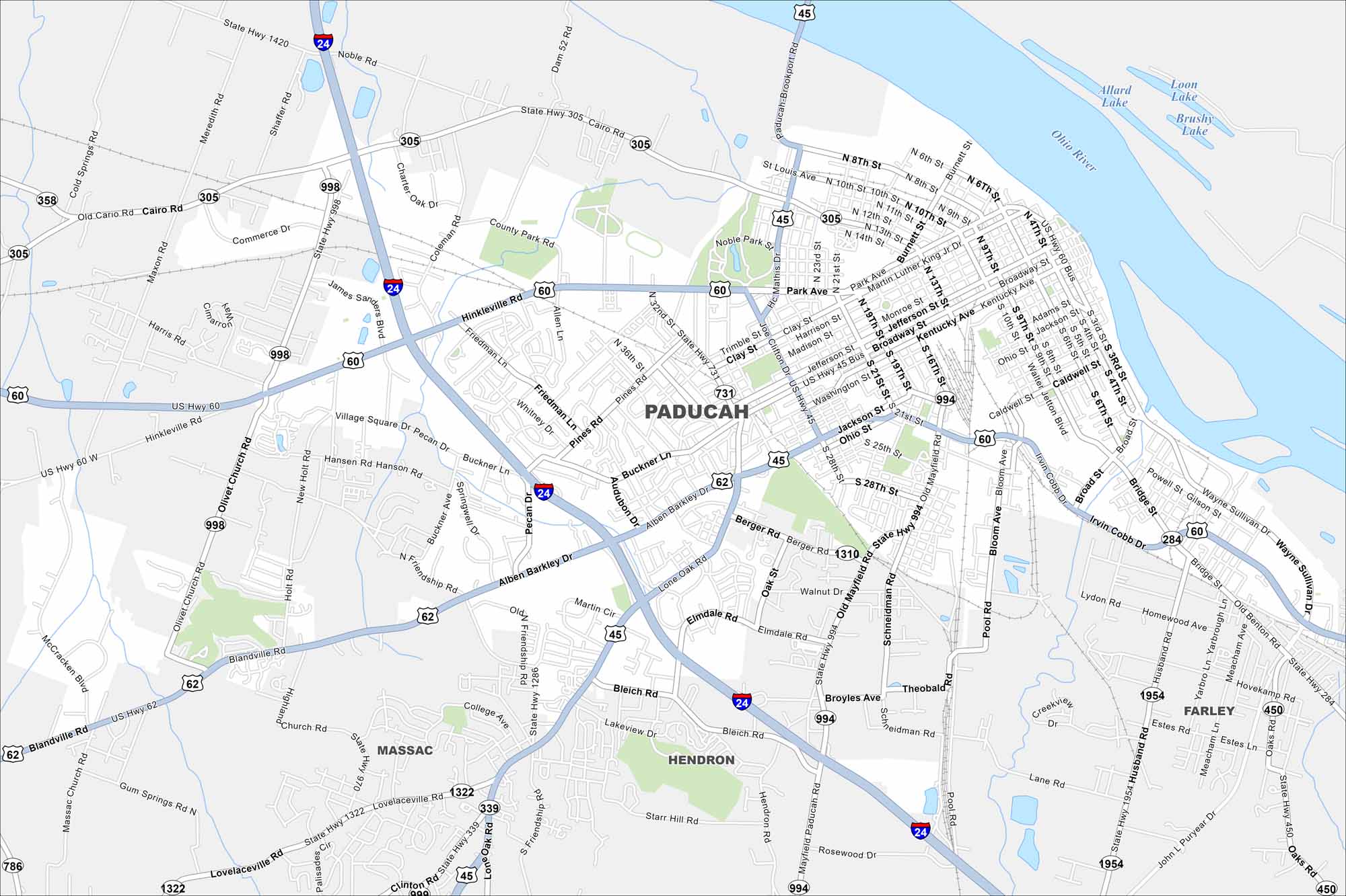
Paducah lies at the confluence of the Ohio and Tennessee Rivers. Our map shows its historic downtown, riverfront, and surrounding area. The city is well known for its arts district and quilting traditions.
Kentucky State Maps
Our Kentucky maps reveal the Bluegrass State


Map Information
On the Map
Interstates/Highways: I-24, US Hwy 45, US Hwy 60, US Hwy 62, State Rte 305, State Rte 339, State Rte 358, State Rte 731, State Rte 994, State Rte 1322 Major Roads: Hinkleville Rd, Lone Oak Rd, Irvin Cobb Dr, Cairo Rd, Alben Barkley Dr, Joe Clifton Dr, Park Ave, Broadway St, Kentucky Ave, Jackson St, Buckner Ln, Pecan Dr, Bleich Rd, Bridge St, Wayne Sullivan Dr, Old Mayfield Rd, Noble Rd, Charter Oak Dr, Coleman Rd, James Sanders Blvd Lakes and Reservoirs: Allard Lake, Loon Lake, Brushy Lake Major Rivers: Ohio River Nearby Communities: Hendron, Farley, MassacCity Maps of Kentucky
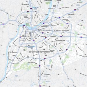
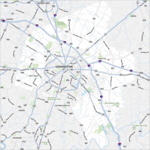
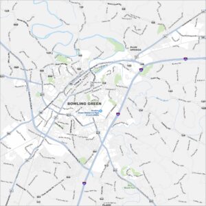
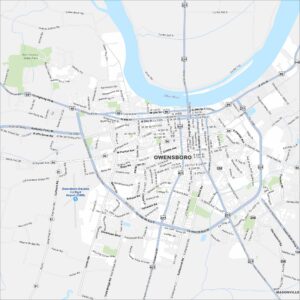
Here are Kentucky’s cities in full detail