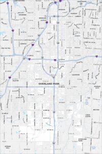
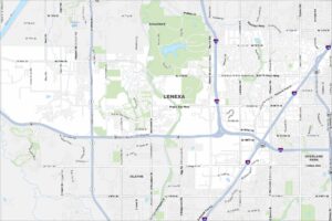
Map of Overland Park, Kansas
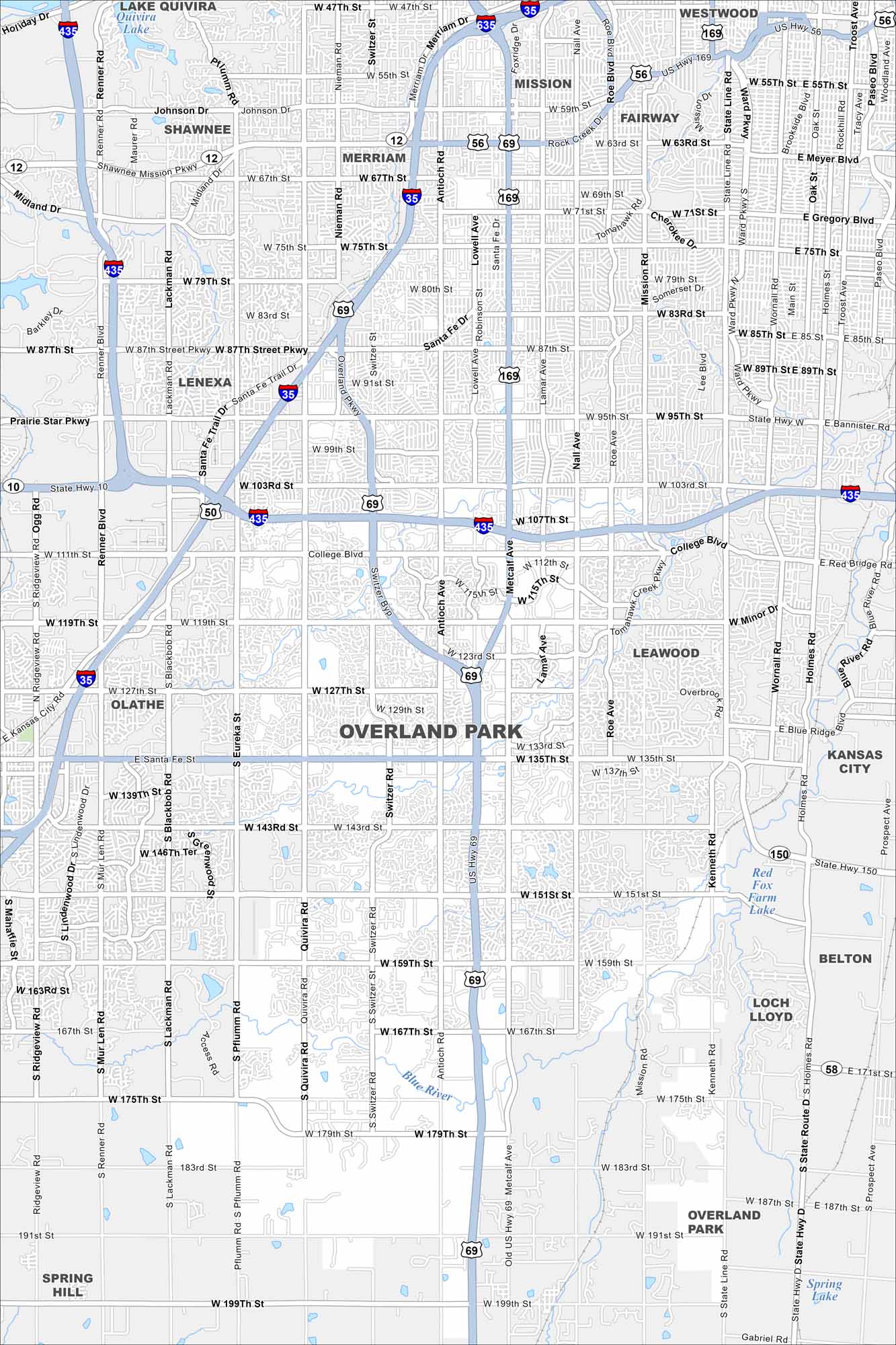
Our map of Overland Park outlines one of the largest suburbs of Kansas City. Suburban streets spread across wide green spaces and business centers. The city is home to museums, gardens, and family neighborhoods.
Kansas State Maps
Explore every corner of Kansas with our state maps


Map Information
On the Map
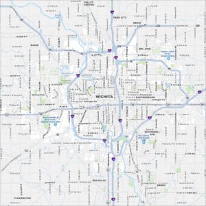
Interstates/Highways: I-435, I-35, I-635, US Hwy 69, US Hwy 169, US Hwy 56, State Hwy 150 Major Roads: Metcalf Ave, College Blvd, 87th St, 95th St, 119th St, 135th St, 151st St, 75th St, 63rd St, Shawnee Mission Pkwy, Johnson Dr, Quivira Rd, Switzer Rd, Antioch Rd, Nall Ave, Roe Ave, Mission Rd, State Line Rd, 159th St, 175th St Lakes and Reservoirs: Lake Quivira, Red Fox Farm Lake Major Rivers: Blue River Nearby Communities: Lenexa, Shawnee, Olathe, Leawood, Mission, Merriam, Fairway, Westwood, Kansas City, Belton, Loch Lloyd, Spring HillCity Maps of Kansas
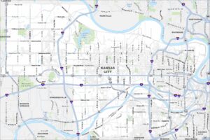
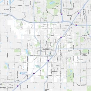
See our maps of Wichita and other urban centers