Home » Neighborhood Maps » Old Town San Diego Map

Old Town San Diego Map

Old Town San Diego Map

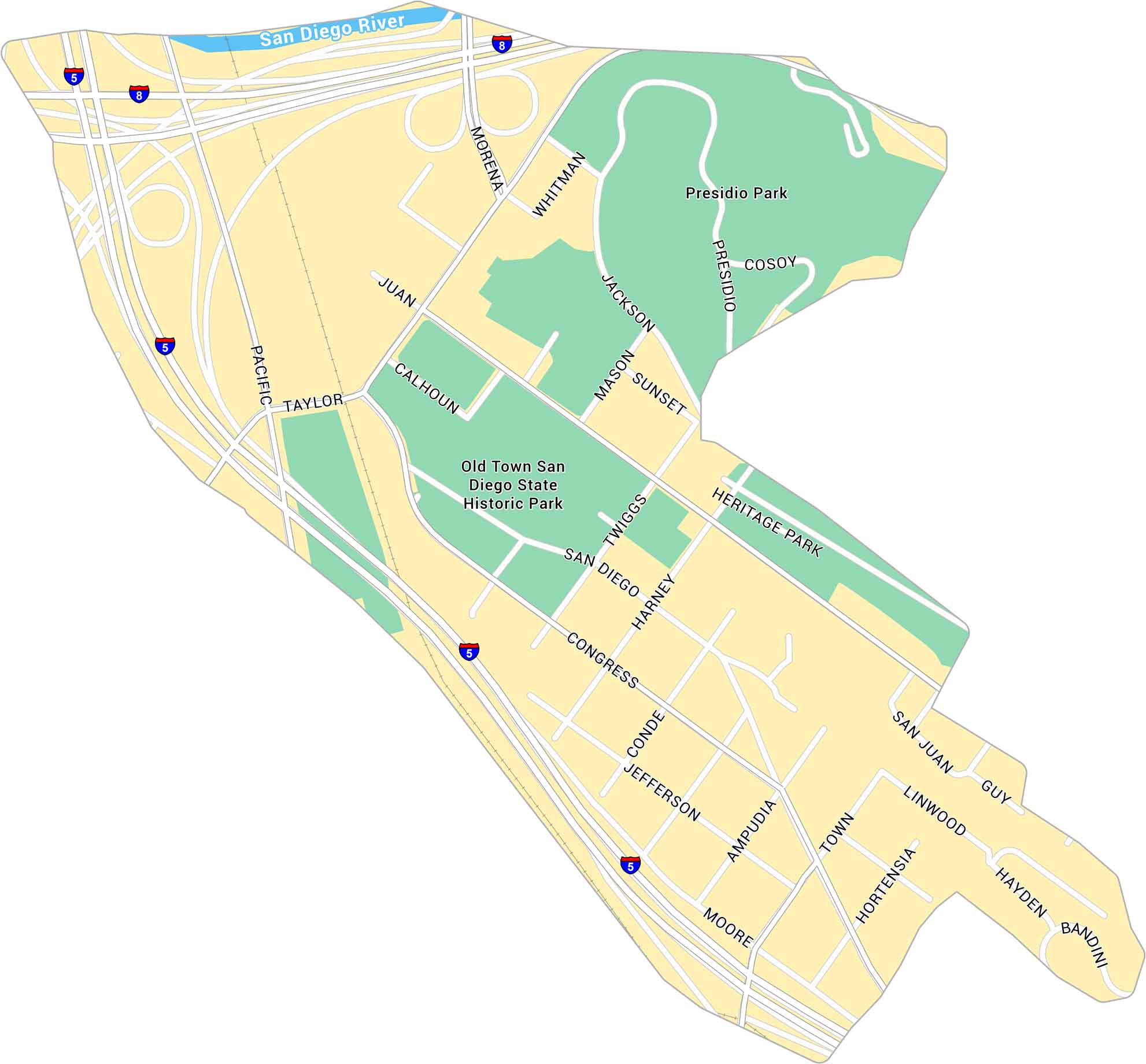
Old Town San Diego sits just north of downtown, near the junction of Interstates 5 and 8. It’s the historic center of the city, close to the Presidio and Mission Valley. Our map shows its streets, parks, and key landmarks.

Map Information

  • Old Town San Diego
  • Neighborhood Map of Old Town San Diego
  • Free for personal and commercial purpose. Attribution is required. How to attribute?

Leave a Reply

Your email address will not be published. Required fields are marked *