Satellite Map of Oklahoma
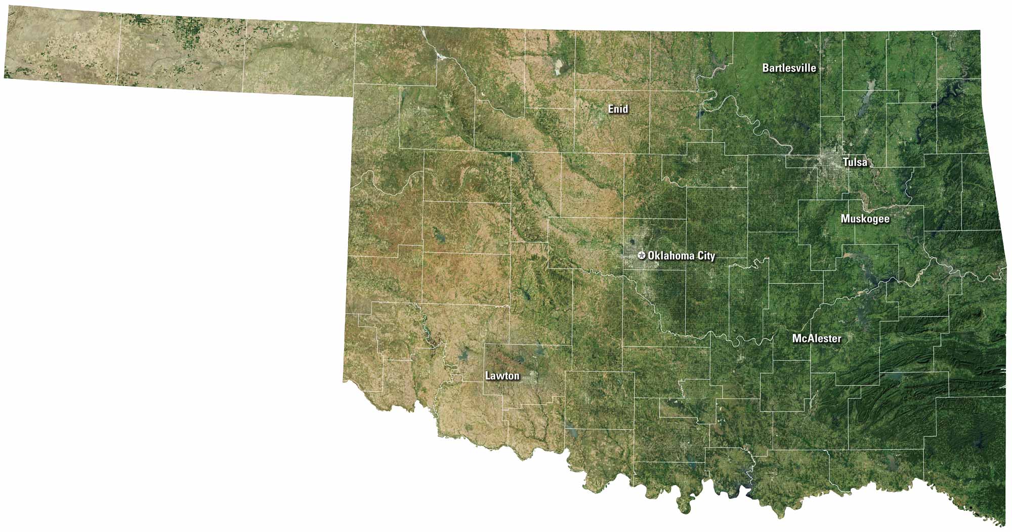
Oklahoma stretches wide with prairies, rolling hills, and red earth. Tulsa and Oklahoma City stand out as hubs of culture and business. The state is rich in rivers and lakes, but its open skies might be what you notice most. Our satellite map shows the balance between land, water, and wide-open space.
Map Information
On the Map
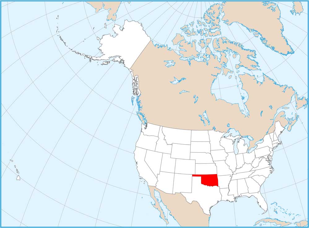
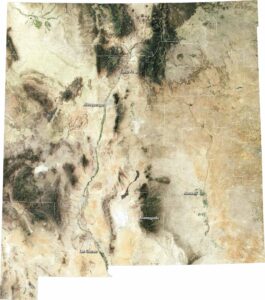
Neighboring State Maps
Find satellite map of neighboring states