Home » Neighborhood Maps » Navy Pier Map, Chicago

Navy Pier Map, Chicago

Navy Pier Map Chicago

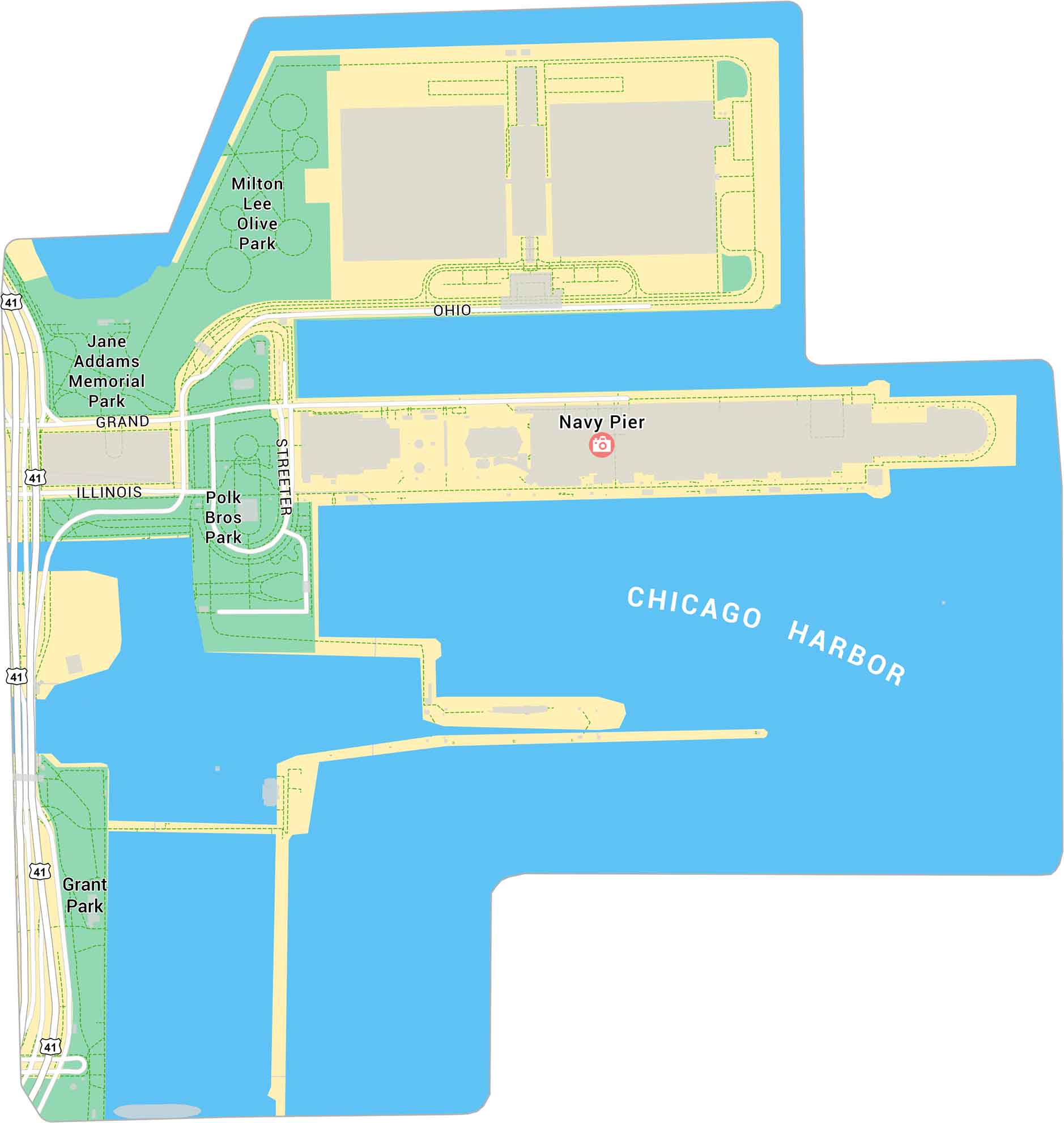
Our map of Navy Pier shows Chicago’s lakefront landmark stretching out into Lake Michigan. It highlights the pier’s layout, nearby parks, and U.S. Highway 41. It’s a major spot for views, events, and waterfront walks.

Map Information

  • Navy Pier, Chicago
  • Neighborhood Map of Navy Pier in Chicago
  • Free for personal and commercial purpose. Attribution is required. How to attribute?

Leave a Reply

Your email address will not be published. Required fields are marked *