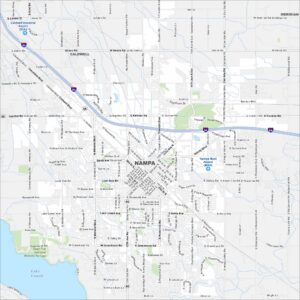
Map of Nampa, Idaho
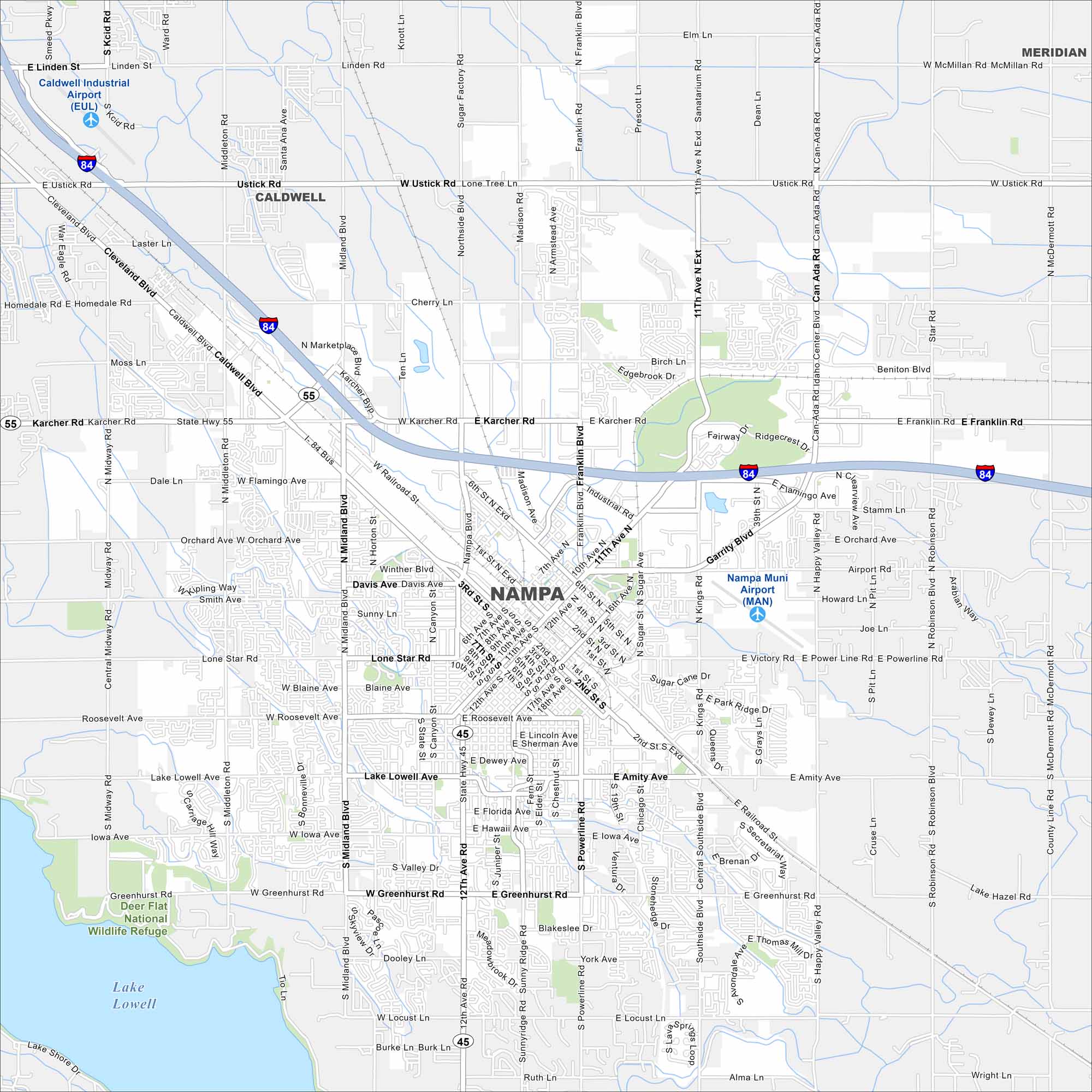
Check out Nampa on our map of the Treasure Valley. The layout includes a central downtown and farmland on the outskirts. It’s one of the state’s fastest-growing cities.


Map Information
On the Map
Interstates/Highways: I-84, State Rte 45, State Rte 55 Major Roads: Garrity Blvd, Karcher Rd, Caldwell Blvd, 12th Ave Rd, 12th Ave, 11th Ave N, 2nd St S, Franklin Rd, Amity Ave, Greenhurst Rd, Middleton Rd, Midland Blvd, Northside Blvd, Idaho Center Blvd, Star Rd, Can-Ada Rd, Robinson Rd, Happy Valley Rd, Powerline Rd, Sunny Ridge Rd Airports: Nampa Muni Airport (MAN) Lakes and Reservoirs: Lake Lowell Parks and Preserves: Deer Flat National Wildlife Refuge Nearby Communities: Caldwell, MeridianIdaho City Maps
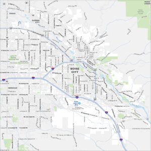
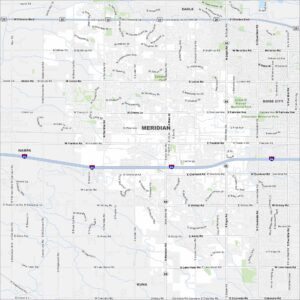
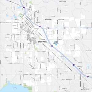
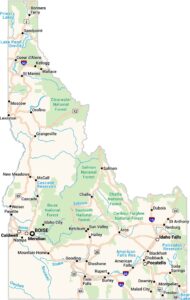
Boise and Idaho city maps right when you need them most