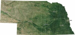
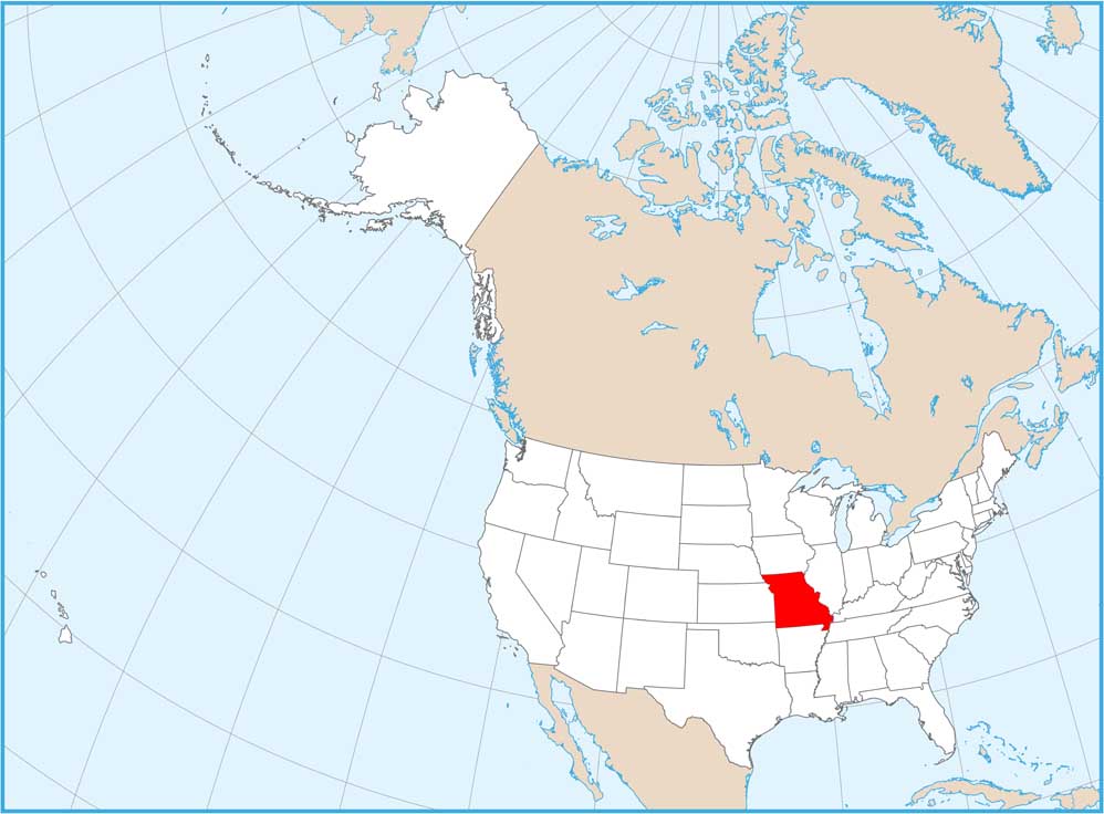
Satellite Map of Missouri
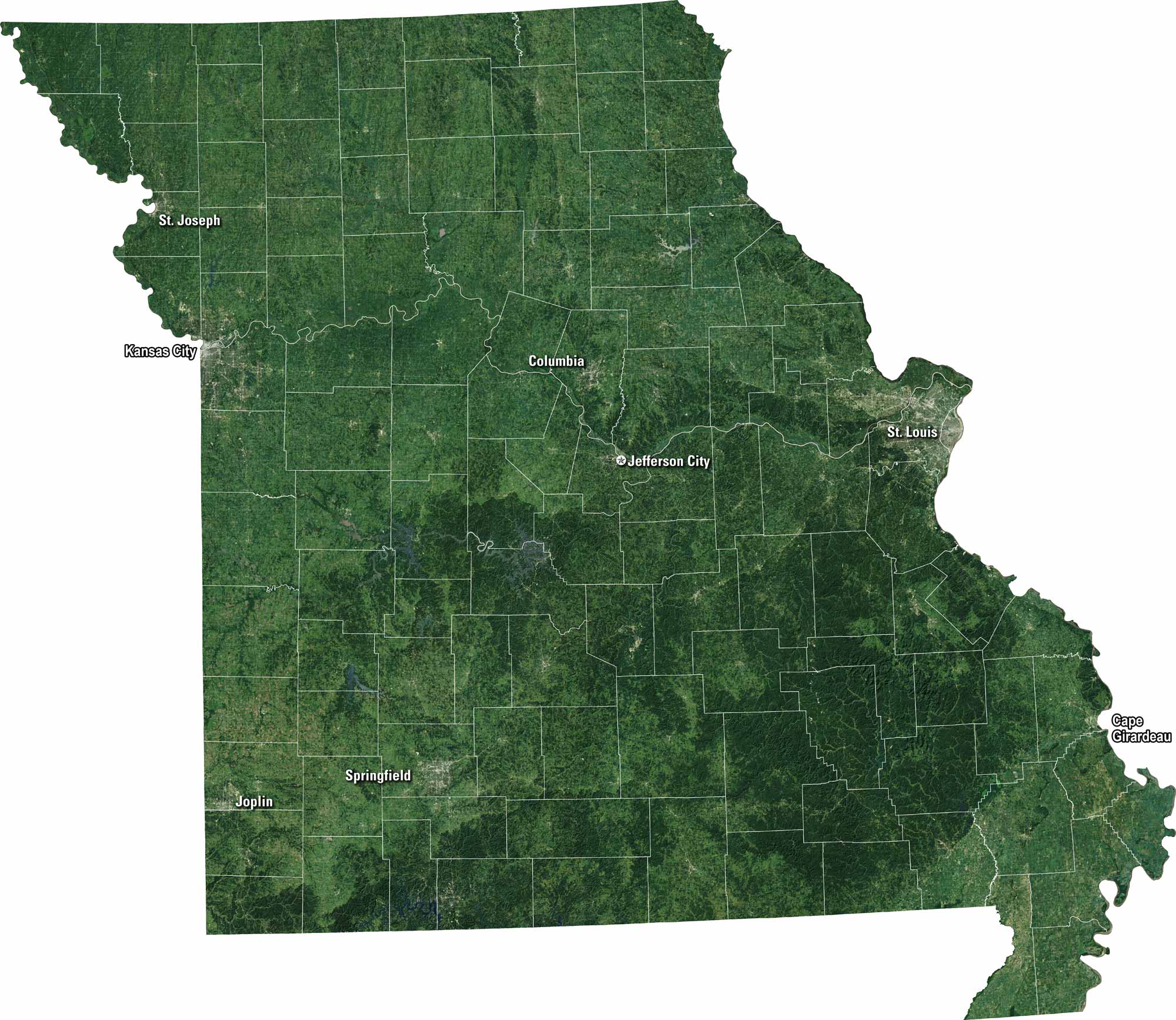
Our satellite map of Missouri displays its forests and plains that stretch across the state. While St. Louis occupies the east, Kansas City is positioned in the west. The Mississippi and Missouri Rivers carve the land. It’s a mix of river life and heartland.
Map Information
On the Map
Neighboring State Maps
Find satellite map of neighboring states