Satellite Map of Minnesota
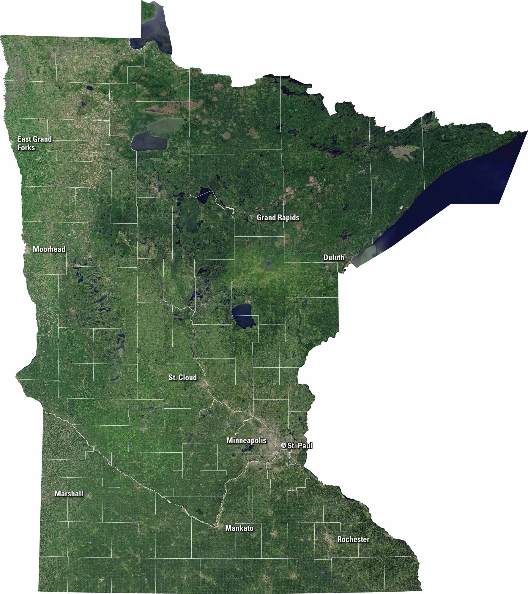
Minnesota is a land of lakes and forests. You’ll spot Minneapolis and St. Paul clearly on our satellite map. Lakes like Mille Lacs and Red show up in blue. Highways cutacross the state, linking towns. It’s known as the “Land of 10,000 Lakes” for good reason.
Map Information
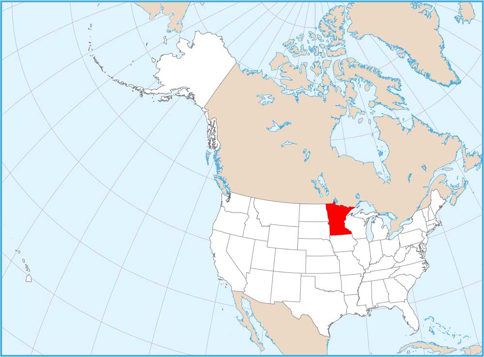
On the Map
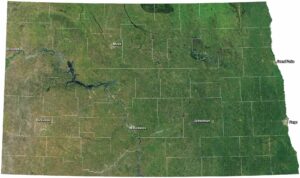
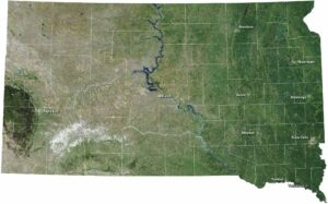
Neighboring State Maps
Find satellite map of neighboring states