Satellite Map of Michigan
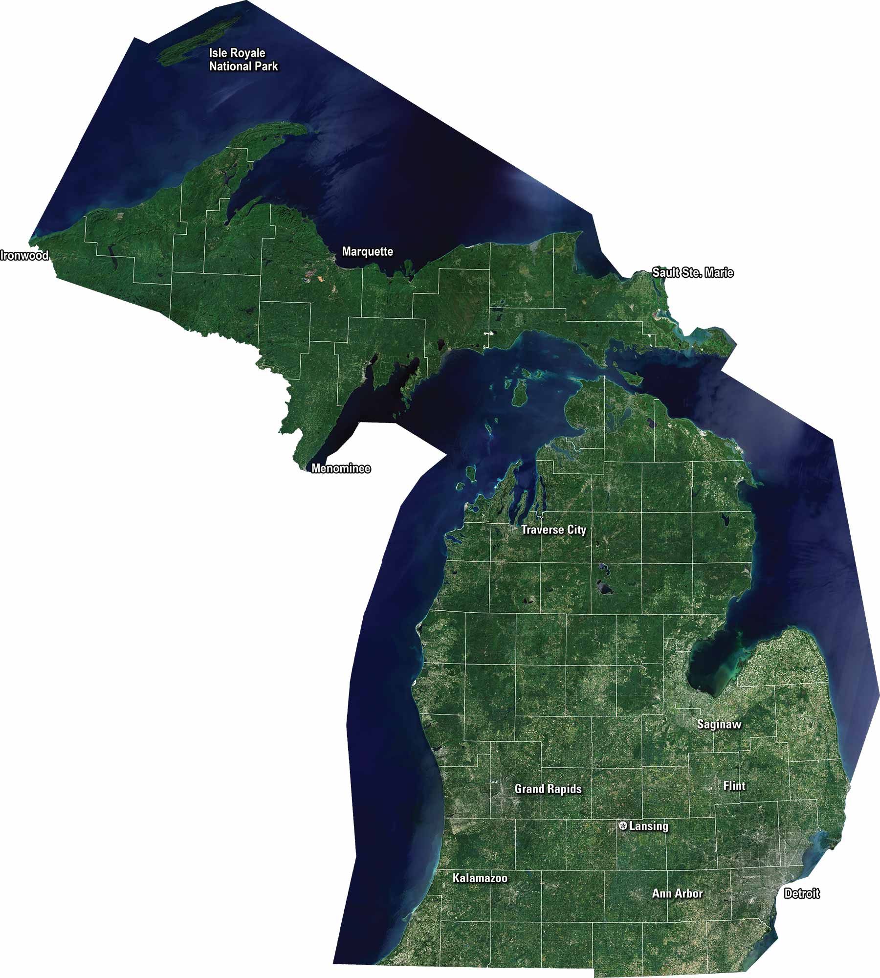
Our satellite map of Michigan shows this state that stretches between two Great Lakes. Highways cross the mitten shape in many directions. We display major cities like Detroit, Grand Rapids, and Lansing. It’s a state defined by water and natural beauty.
Map Information
On the Map
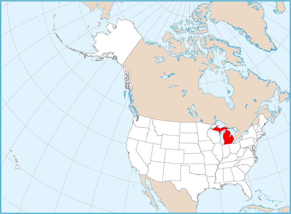
Neighboring State Maps
Find satellite map of neighboring states


