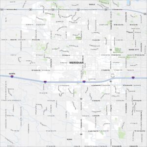
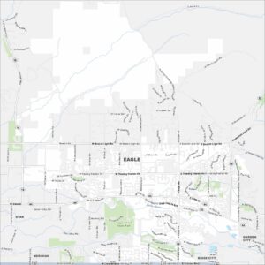
Map of Meridian, Idaho
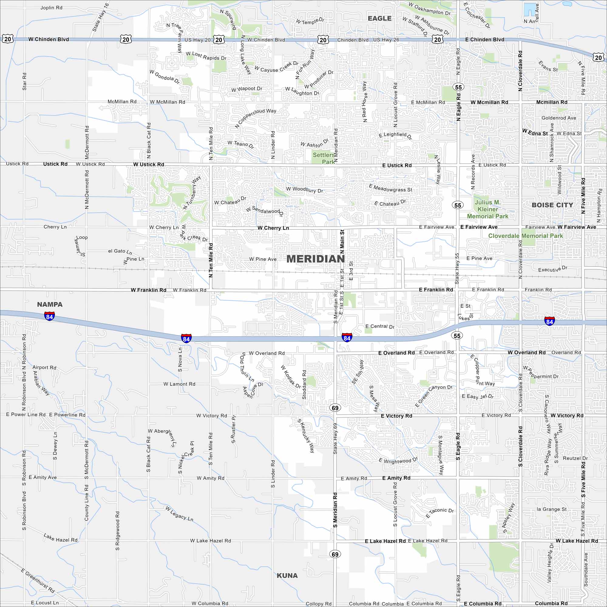
Meridian sits between Boise and Nampa. Our map highlights sprawling neighborhoods, Interstate 84, and new growth. It’s one of Idaho’s fastest-growing cities.


Map Information
On the Map
Interstates/Highways: I-84, US Hwy 20, US Hwy 26, State Rte 55, State Rte 69 Major Roads: Meridian Rd, Eagle Rd, Fairview Ave, Chinden Blvd, Franklin Rd, Overland Rd, Ustick Rd, Linder Rd, Ten Mile Rd, Black Cat Rd, McDermott Rd, Star Rd, McMillan Rd, Cherry Ln, Pine Ave, Victory Rd, Amity Rd, Lake Hazel Rd, Columbia Rd, Locust Grove Rd Parks and Preserves: Settlers Park, Julius M. Kleiner Memorial Park Nearby Communities: Eagle, Boise City, Nampa, KunaIdaho City Maps
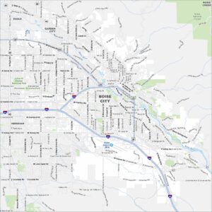
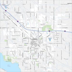
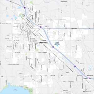
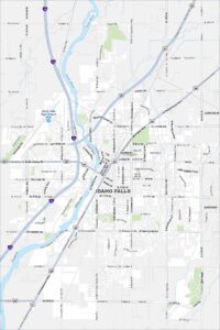
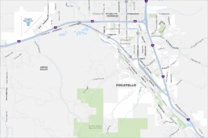
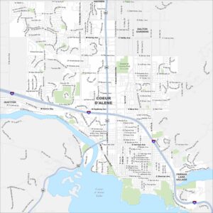
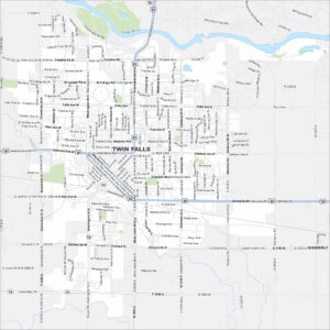
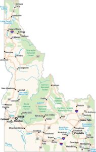
Boise and Idaho city maps right when you need them most