Home » State Maps » Massachusetts Physical Map

Massachusetts Physical Map

Massachusetts Physical Map

Get to know Massachusetts with our physical map. The Berkshire Hills bring real elevation to the west with the Taconic Range along the New York border. Central Massachusetts rolls through hills and river valleys carved by the Connecticut River. The eastern third flattens into coastal plain, ending at beaches, harbors, and the rocky shores of Cape Cod.
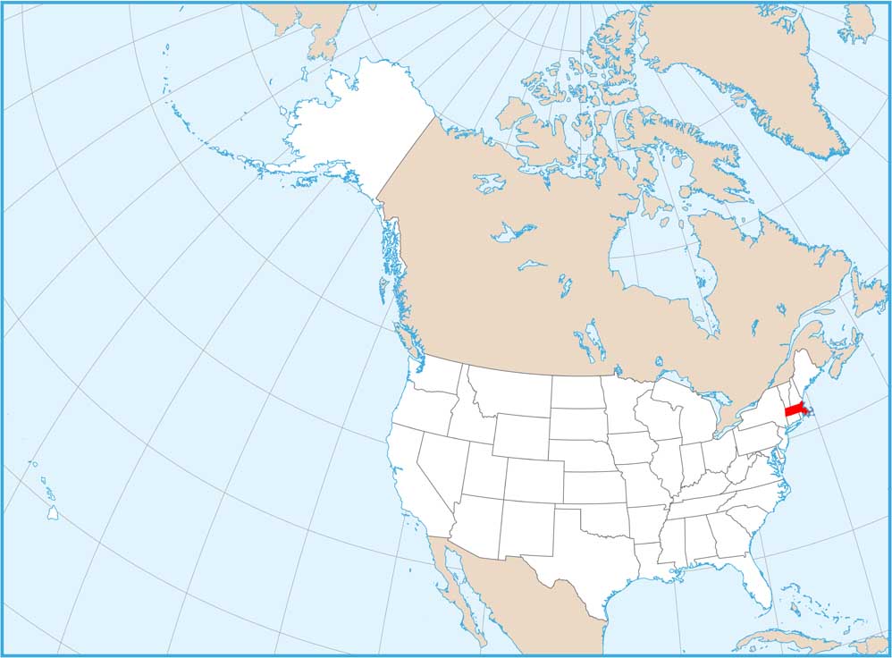
Map Information

  • State of Massachusetts
  • Physical Map of Massachusetts
  • Free for personal and commercial purpose. Attribution is required. How to attribute?

On the Map

Massachusetts Location Map
Physical Features: Taconic Mts, Berkshire Hills, Pioneer Valley Islands: Nantucket Island, Martha’s Vineyard State Capital: Boston Major Cities: Brockton, Cambridge, Lowell, Springfield, Worcester Cities and Towns: Amherst, Athol, Auburn, Barnstable, Brookline, Chicopee, Easthampton, Fall River, Falmouth, Fitchburg, Framingham, Franklin, Gloucester, Goshen, Greenfield, Haverhill, Holyoke, Hyannis, Lawrence, Lynn, Malden, Marlborough, New Bedford, Newton, North Adams, Northhampton, Pittsfield, Plymouth, Provincetown, Quincy, Salem, Scituate, Stockbridge, Taunton, Ware, Wareham, Westfield, Woburn Interstate Highways: I-90, I-91, I-93, I-95, I-190, I-195, I-290, I-291, I-395, I-495 US Routes: US-1, US-3, US-5, US-6, US-7, US-20 Lakes and Reservoirs: Atlantic Ocean, Buzzards Bay, Cape Cod Bay, Nantucket Sound, Quabbin Reservoir Rivers and Streams: Connecticut River, Merrimack River

References

  1. Shuttle Radar Topography Mission Elevation
  2. National Map TopoBuilder Application

Leave a Reply

Your email address will not be published. Required fields are marked *