Satellite Map of Maryland
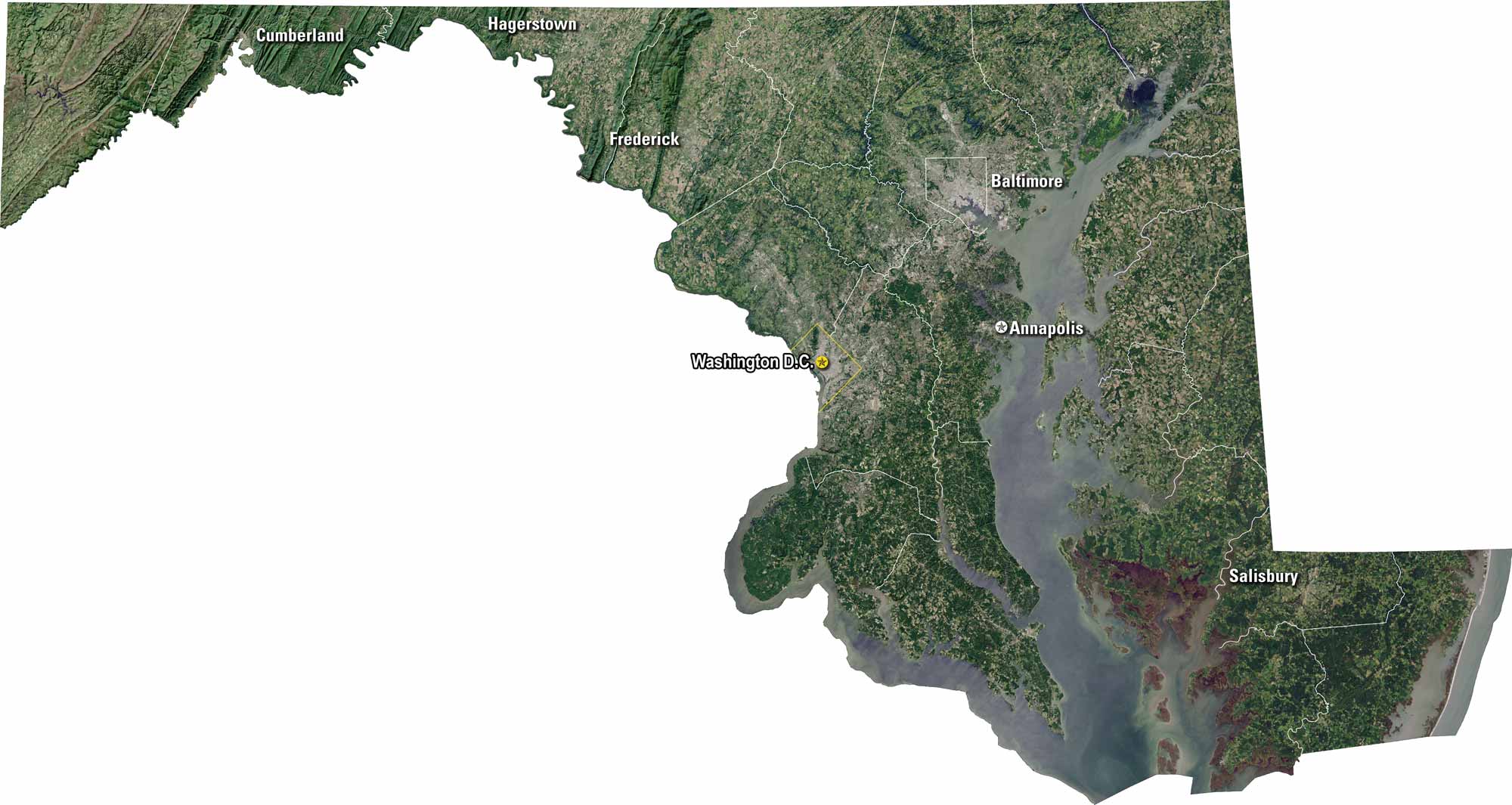
Maryland spreads across bays, rivers, and rolling hills. Our satellite map shows Baltimore, Annapolis, and stretches into Washington, D.C. You’ll notice the Chesapeake Bay dominating the eastern side. Roads and bridges connect the state’s diverse regions.
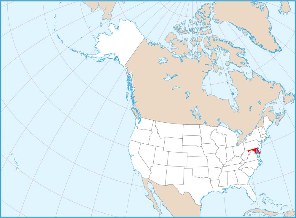
Map Information
On the Map
Neighboring State Maps
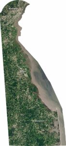
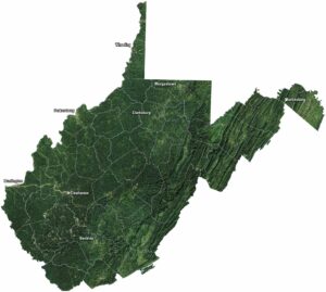
Find satellite map of neighboring states