Map of North Dakota
Our North Dakota map brings wide plains and winding rivers into focus. You’ll see highways connecting toward small towns and open skies.

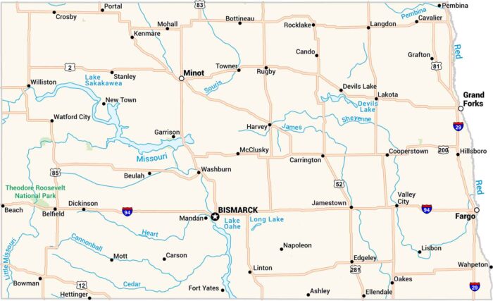
Our North Dakota map brings wide plains and winding rivers into focus. You’ll see highways connecting toward small towns and open skies.
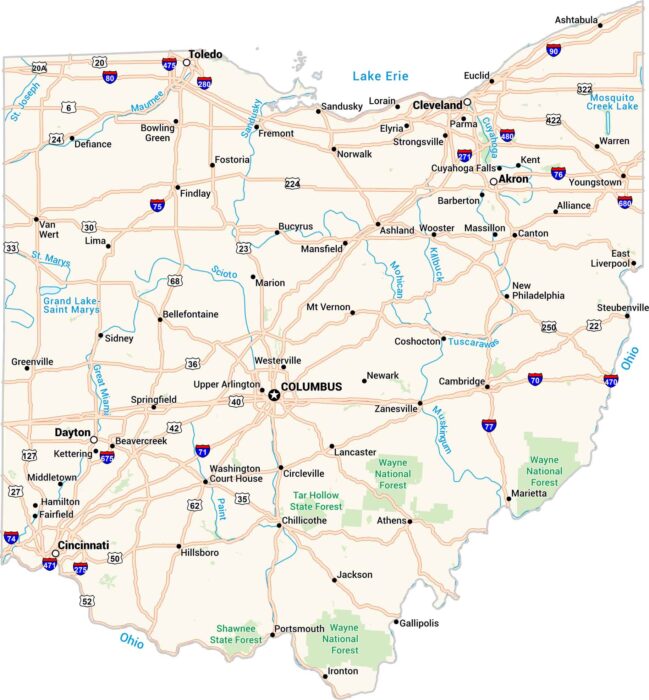
Ohio has its own rhythm. Cities, rivers, and rolling farmland are all connected by its interstates. Our Ohio map lays it all out clearly.
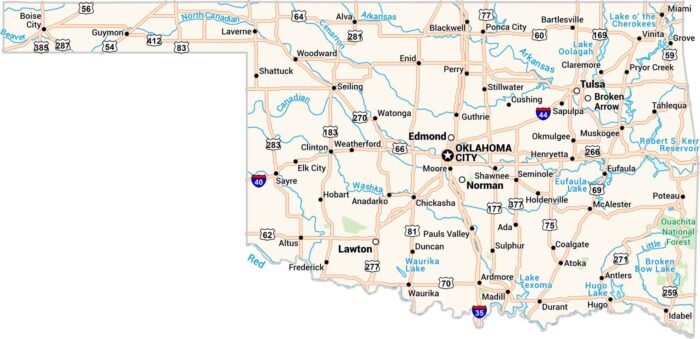
Oklahoma is wide horizontally with its mix of prairie, hills, and open sky. Our map displays its long highways past lakes and small towns.
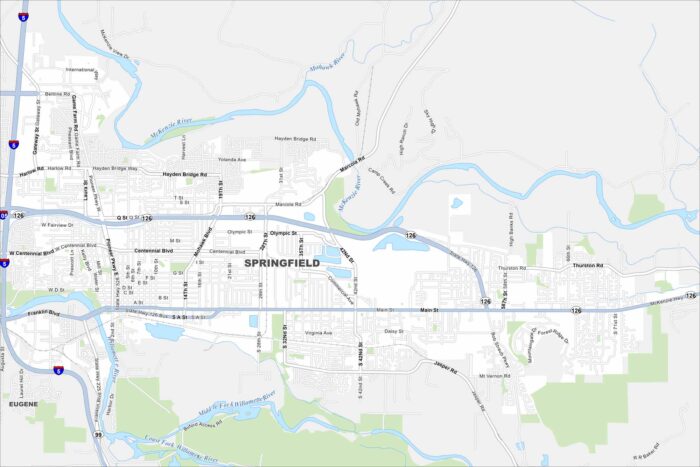
Get around Springfield with our map. It’s a friendly community next to Eugene, with easy access to rivers, trails, and mountain scenery.
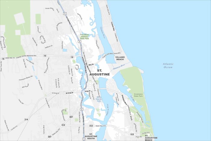
Our map of St. Augustine shows the oldest city in the U.S. It was established back in 1565 by Spanish explorer Pedro Menéndez de Avilés.
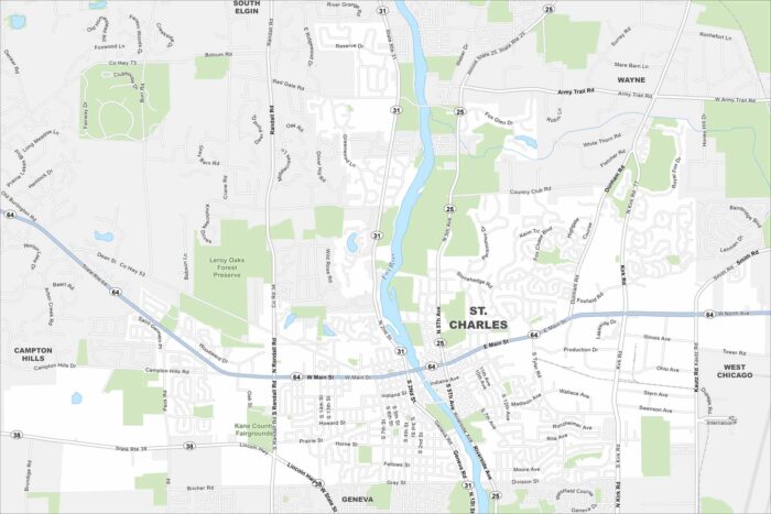
Here’s a map of St. Charles along the Fox River. The town is known for its scenic downtown, theaters, and family-friendly festivals.
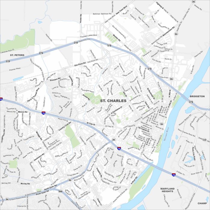
Our map of St. Charles highlights its historic Main Street district. The Missouri Riverfront and old brick buildings give the city its look.
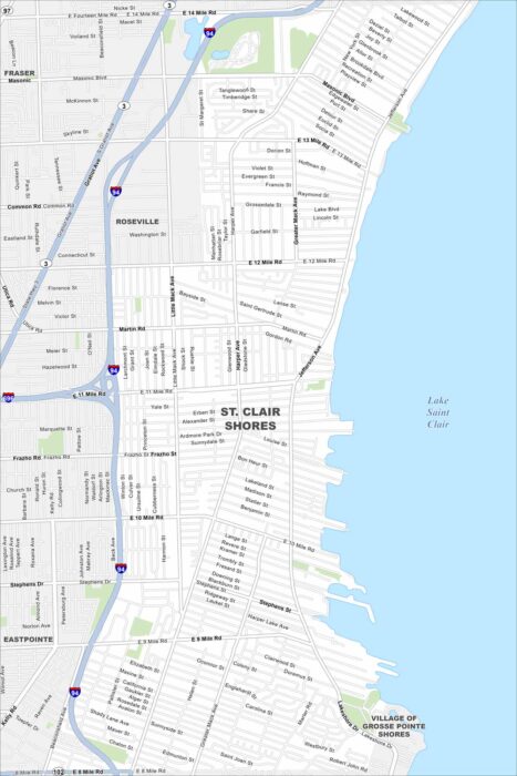
Get to know St. Clair Shores with our map. Marinas, canals, and lakefront views shape life along Lake St. Clair.
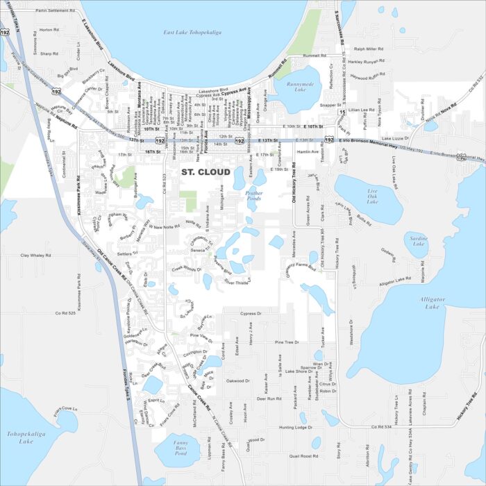
Our road map of St. Cloud helps you explore this growing city near Orlando. It offers a quieter pace with lakes and family neighborhoods.
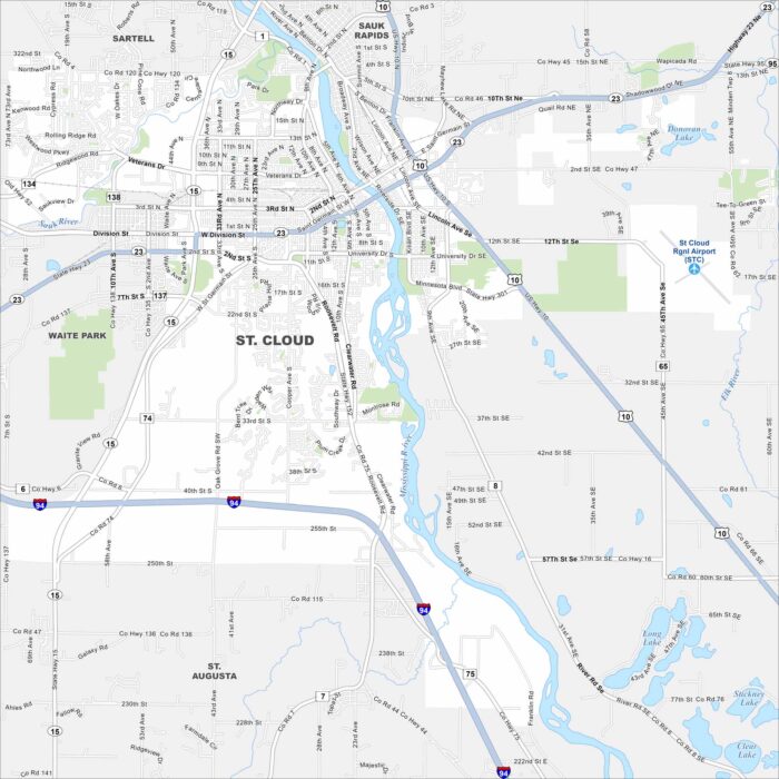
Our map of St. Cloud shows the Mississippi River running through downtown. The city is home to a university, trails, and riverfront parks.
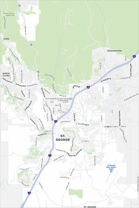
Take a look at our map of St. George, Utah. Red rock landscapes, golf courses, and warm weather make it a popular destination year-round.
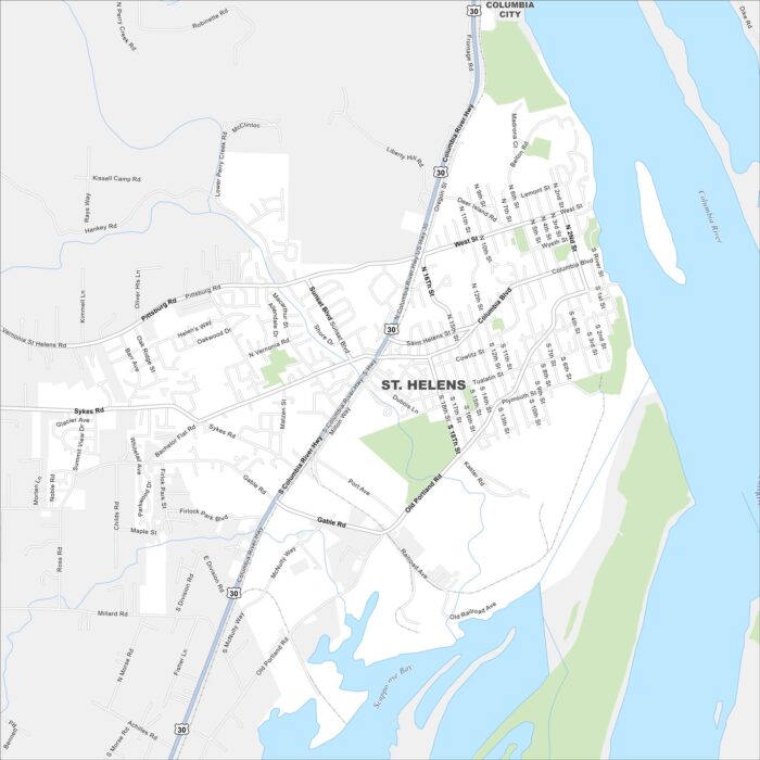
Our map of St. Helens highlights its setting along the Columbia River. The town has historic charm and mountain views on clear days.
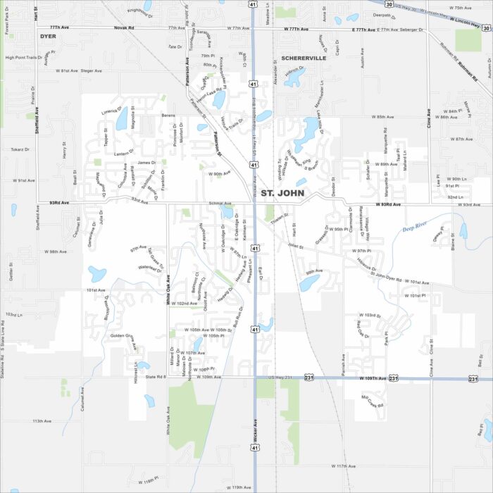
Get to know St. John with our road map. This suburban community offers quiet neighborhoods, local schools, and easy access to nearby Chicago.
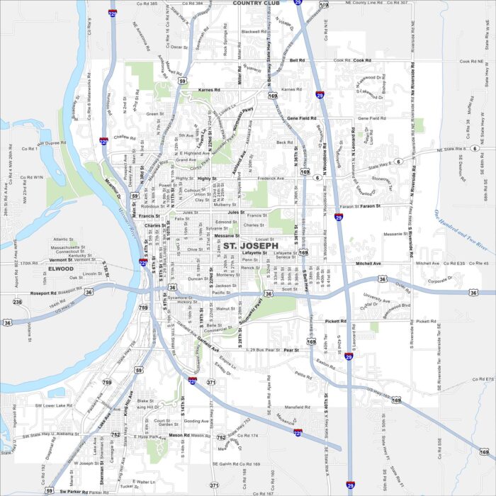
Familiarize yourself with St. Joseph, Missouri using our road and highway map. The Missouri River forms its western border.
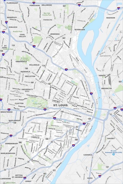
Our road map of St. Louis shows the second largest city in Missouri. The Mississippi River splits it off from Illinois to the east.