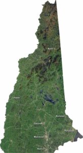
Satellite Map of Maine
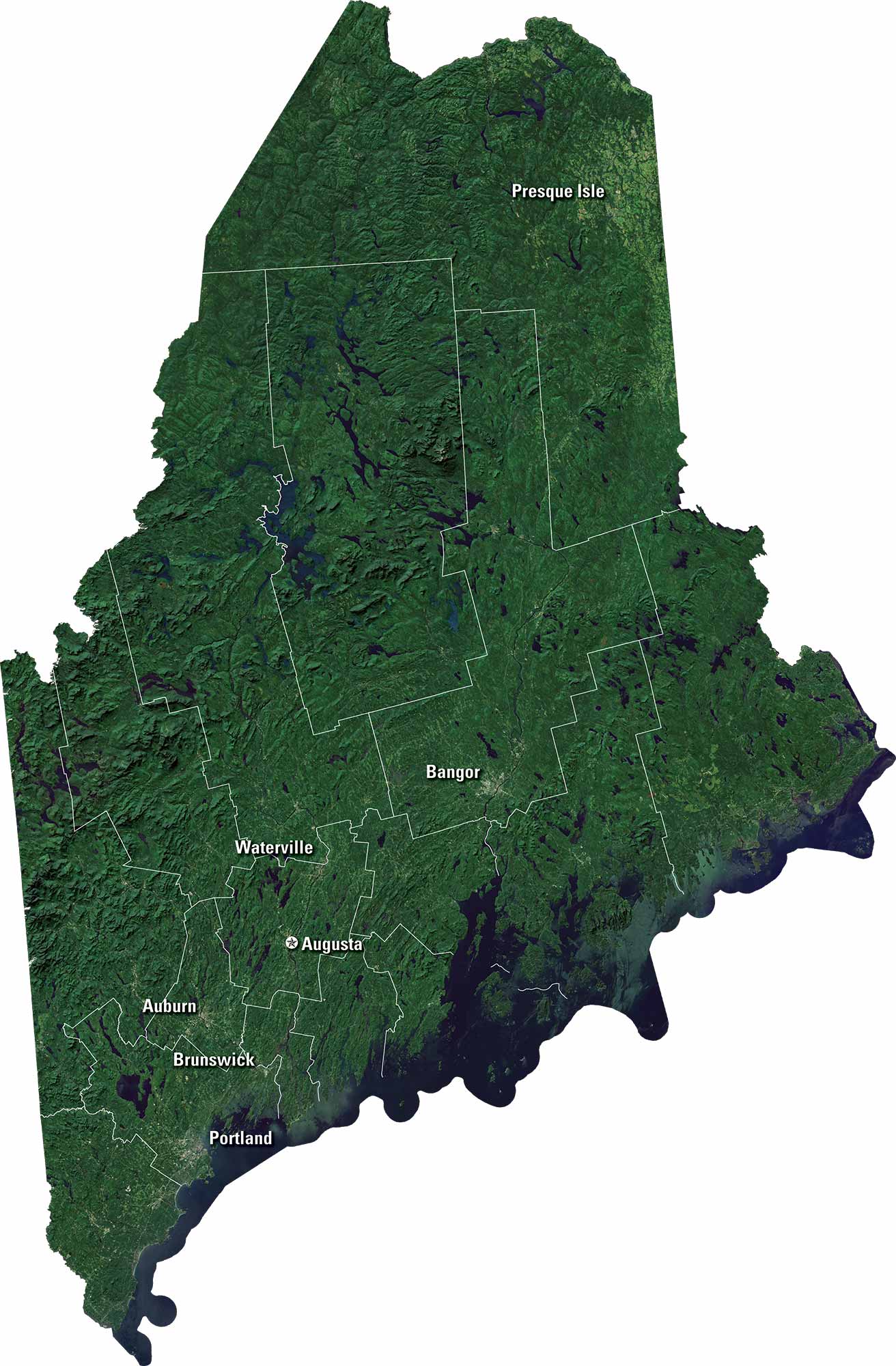
Maine is full of rugged coastline and dense forests. Our satellite map shows Penobscot Bay and countless lakes inland. Mountains rise toward the north and west. You’ll also see Portland, Bangor, and coastal towns along the Atlantic. It’s a state of natural beauty and quiet charm.
Map Information
On the Map
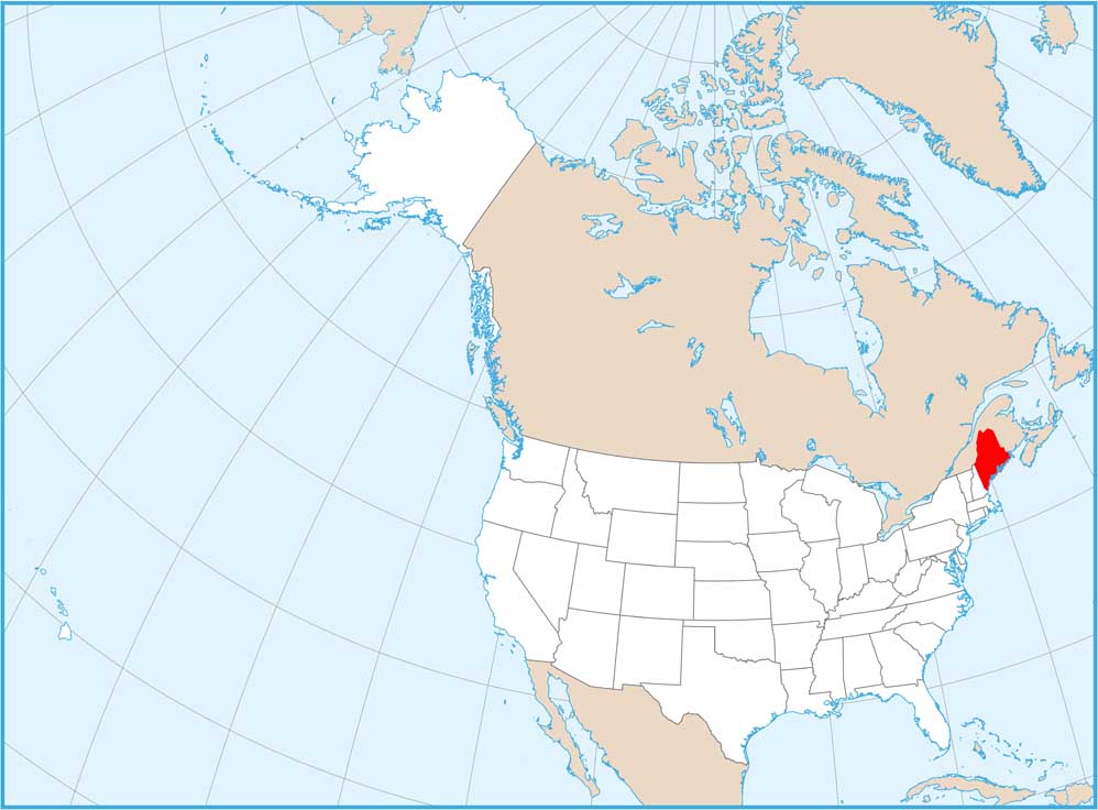
Neighboring State Maps
Find satellite map of neighboring states