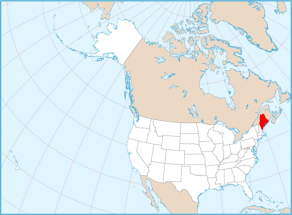
Maine National Parks and Forests Map
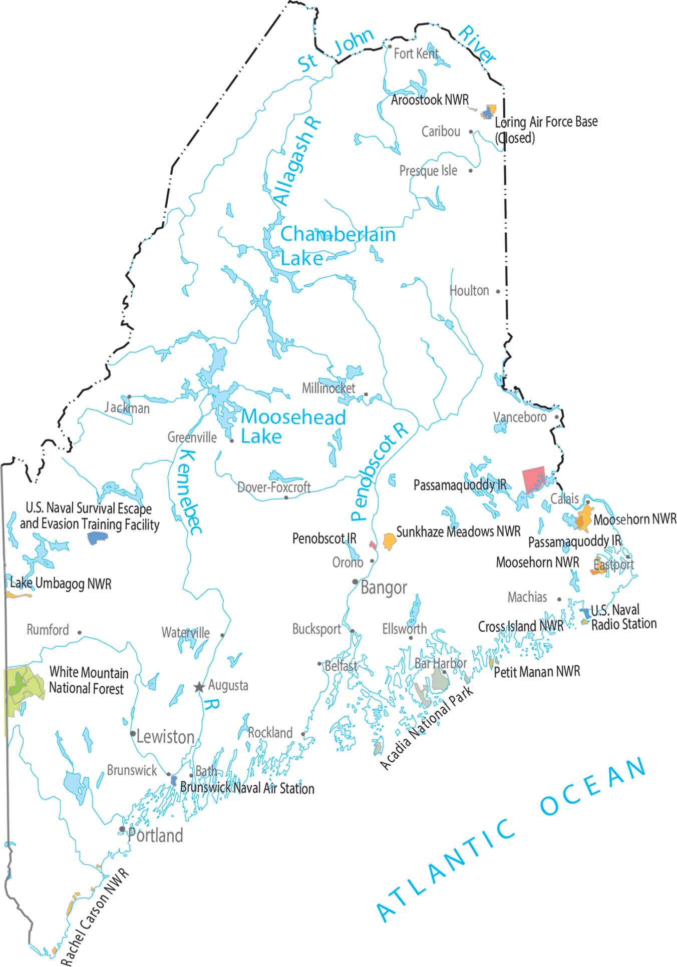
Our map shows national forests, parks and federal lands. Acadia National Park pops along the rocky coast. The south looks busy compared to the north.
Map Information
On the Map
Parks, Forests and Federal Lands
National Parks: Acadia National Park National Forests: White Mountain National Forest National Wildlife Refuges (NWR): Aroostook NWR, Cross Island NWR, Lake Umbagog NWR, Moosehorn NWR, Petit Manan NWR, Rachel Carson NWR, Sunkhaze Meadows NWR Indian Reserves (IR): Passamaquoddy IR, Penobscot IR Army, Naval and Military: Brunswick Naval Air Station, Loring Air Force Base (Closed), U.S. Naval Radio Station, U.S. Naval Survival Escape and Evasion Training FacilityLand Information
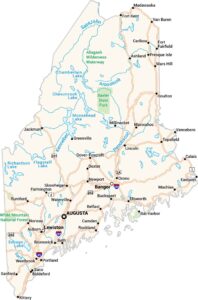
State Capital: Augusta Major Cities: Bangor, Lewiston, Portland Cities and Towns: Bar Harbor, Bath, Belfast, Brunswick, Bucksport, Calais, Caribou, Dover-Foxcroft, Eastport, Ellsworth, Fort Kent, Greenville, Houlton, Jackman, Machias, Macwahoc, Millinocket, Orono, Presque Isle, Rockland, Rumford, Vanceboro Lakes and Reservoirs: Chamberlain Lake, Moosehead Lake Rivers and Streams: Allagash River, Kennebec River, Penobscot River, St. John RiverMaine State Maps
Examine the Pine Tree State of Maine