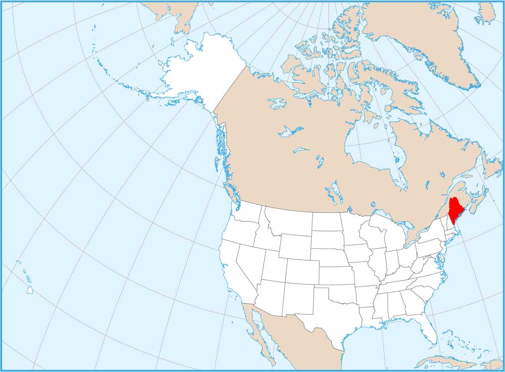
Map of Maine
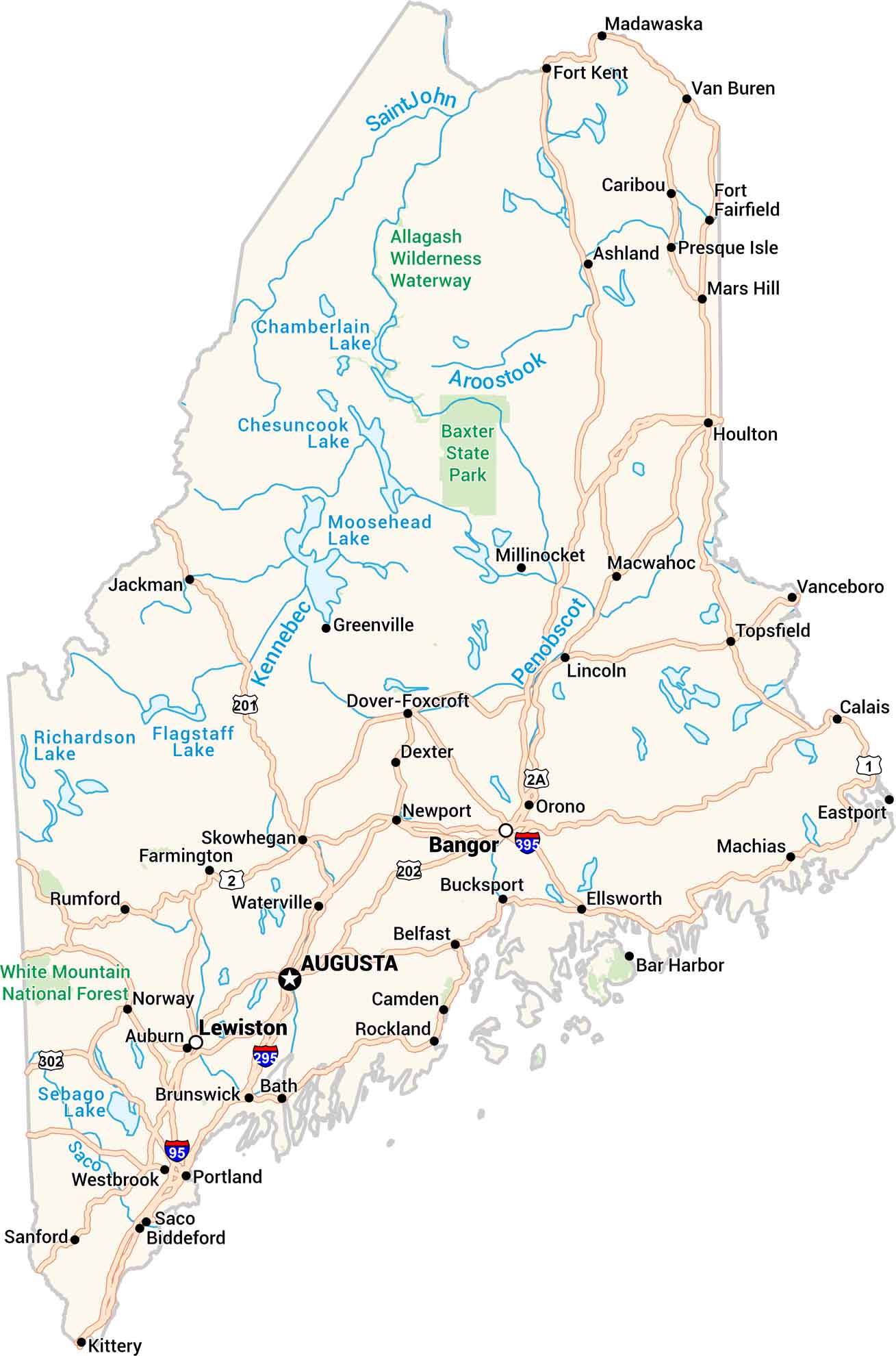
Our Maine map brings the coast and countryside together. From Portland’s harbor lights to the deep forests up north, every part stands out. You’ll see lakes, rivers, and highways connecting it all. It feels wild, yet familiar. It’s just like Maine itself.


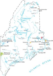


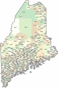
Map Information
On the Map
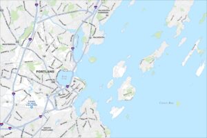
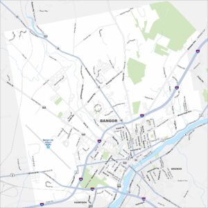
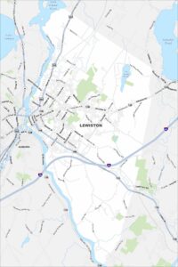
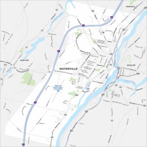
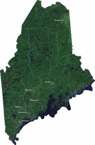
Maine City Maps
Get to know Maine with our city maps