Map of Leesburg, Virginia
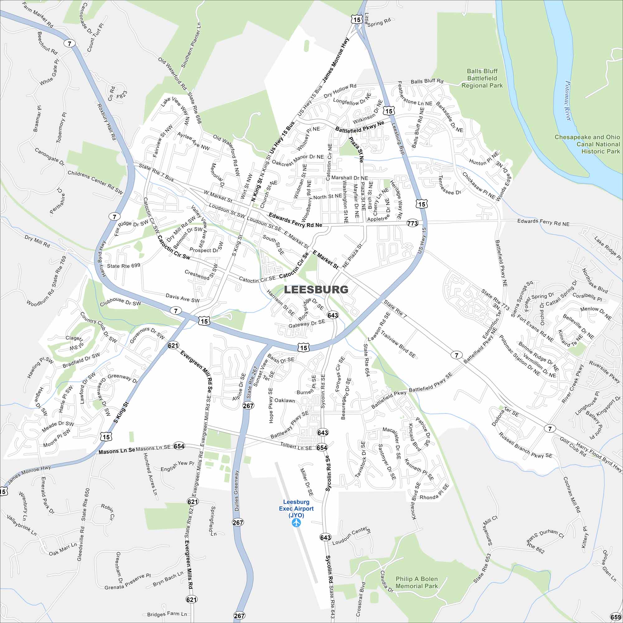
Leesburg anchors Loudoun County at the foot of the Blue Ridge. Our map shows its historic district at the core. Newer neighborhoods extend moreso in the countryside.
Map Information
On the Map
Interstates/Highways: US Hwy 15, State Rte 7, State Rte 698, State Rte 699, State Rte 773, State Rte 654, State Rte 643, State Rte 621, State Rte 650, State Rte 653, State Rte 862 Major Roads: Market St, King St, Catoctin Cir, Battlefield Pkwy, Edwards Ferry Rd, Evergreen Mill Rd, Miller Dr, Sycolin Rd, Plaza St, Harrison St, Loudoun St, South St, Dry Mill Rd, Fairview St, Heritage Way, Fort Evans Rd, Potomac Station Dr, Riverside Pkwy, Harry Flood Byrd Hwy, Hope Pkwy Airports: Leesburg Exec Airport (JYO) Major Rivers: Potomac River Parks and Preserves: Balls Bluff Battlefield Regional Park, Chesapeake and Ohio Canal National Historic Park, Philip A Bolen Memorial ParkVirginia State Maps
Spanning coasts and mountains, here are our maps of Virginia.


City Maps of Virginia
Traverse Virginia using our city maps


