Map of Lake St. Louis, Missouri
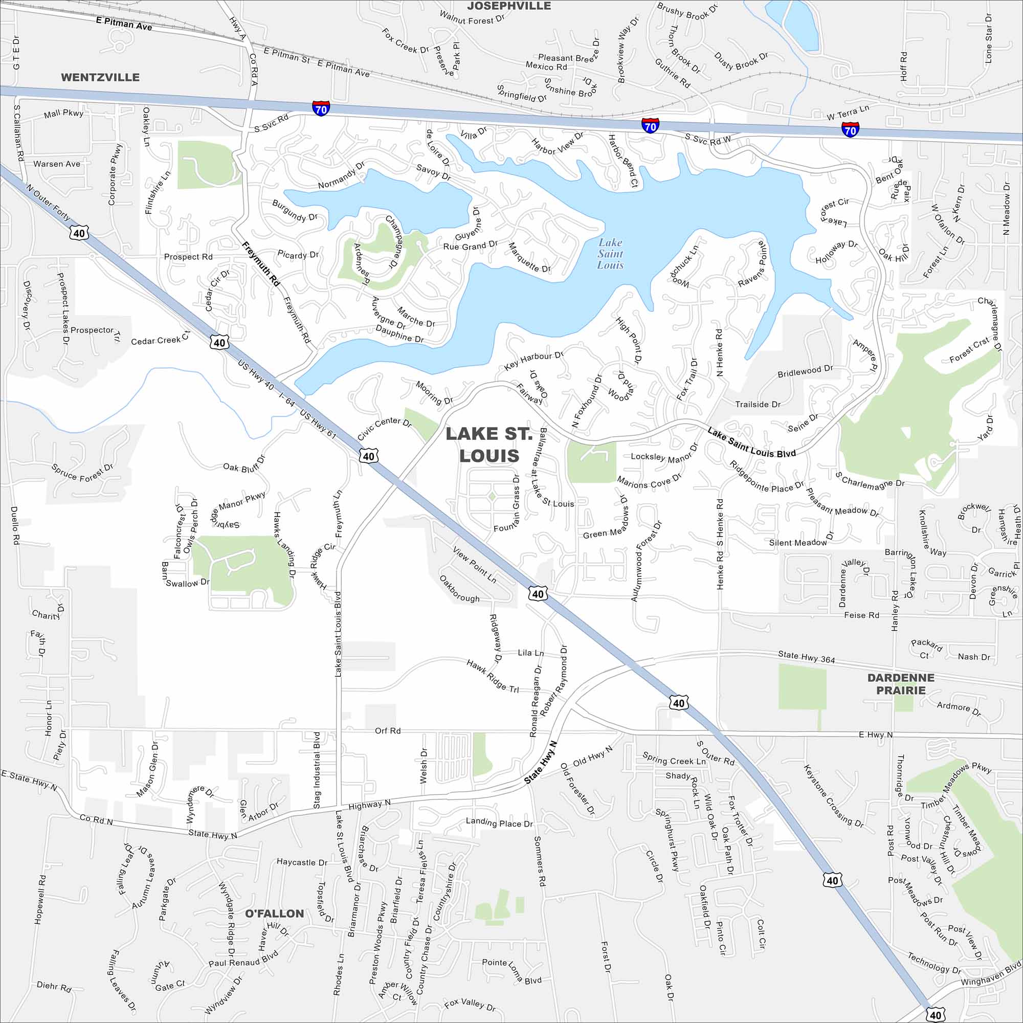
Our Lake St. Louis map shows the twin lakes that give the city its name. Neighborhoods wrap around the shoreline in sweeping curves. I-70 cuts through just to the north.
Map Information
On the Map
Interstates/Highways: I-70,US Hwy 40, State Rte 364 Major Roads: Lake Saint Louis Blvd, Prospect Rd, Orf Rd, Highway N, Feise Rd, Technology Dr, Corporate Pkwy, Duello Rd, Sommers Rd, Henke Rd, Ronald Reagan Dr, Paul Renaud Blvd, Mexico Rd, Rue Grand Dr, Civic Center Dr, High Point Dr, Freymuth Rd, Hanley Rd, Winghaven Blvd, Diehr Rd Lakes and Reservoirs: Lake Saint Louis Nearby Communities: Wentzville, O’Fallon, Dardenne Prairie, JosephvilleMissouri State Maps
Check out state maps of the Show-Me State.


Missouri City Maps
Here are our city maps for Missouri


