Lafayette Square Map, St. Louis
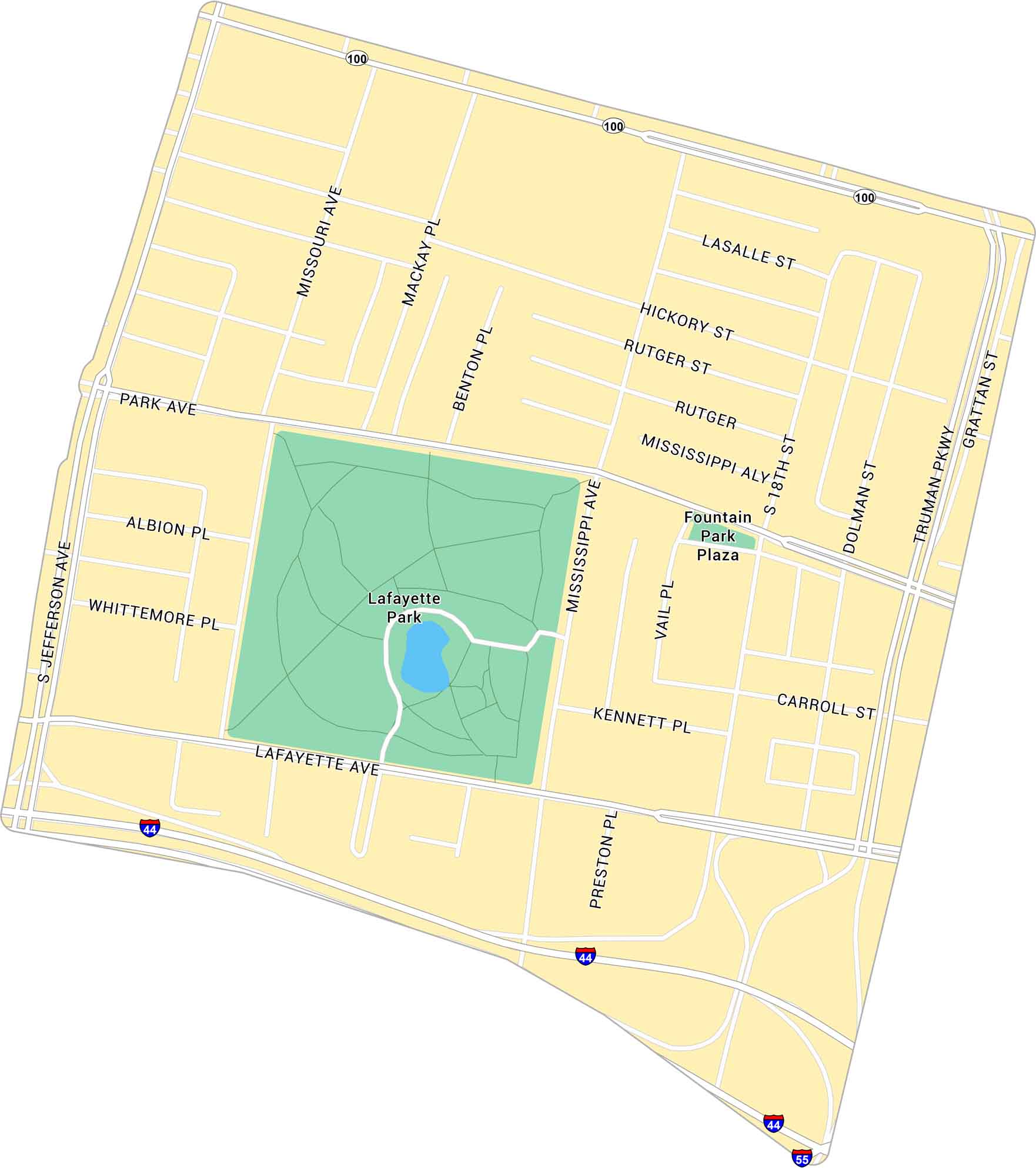
Our map of Lafayette Square shows the historic St. Louis neighborhood just south of downtown. It’s centered around the park with its surrounding streets.
Map Information
On the Map
Interstates/Highways: I-44, I-55, State Rte 100 Major Roads: Jefferson Ave, Lafayette Ave, Park Ave, Truman Pkwy, Mississippi Ave, 18th St, Dolman St, Grattan St, Carroll St, Kennett Pl, Rutger St, Hickory St, Lasalle St, Missouri Ave, Mackay Pl, Benton Pl, Albion Pl, Whittemore Pl, Preston Pl, Vail Pl Parks: Lafayette Park, Fountain Park PlazaMissouri City Maps
Here are our city maps for Missouri


