Map of Kirkwood, Missouri
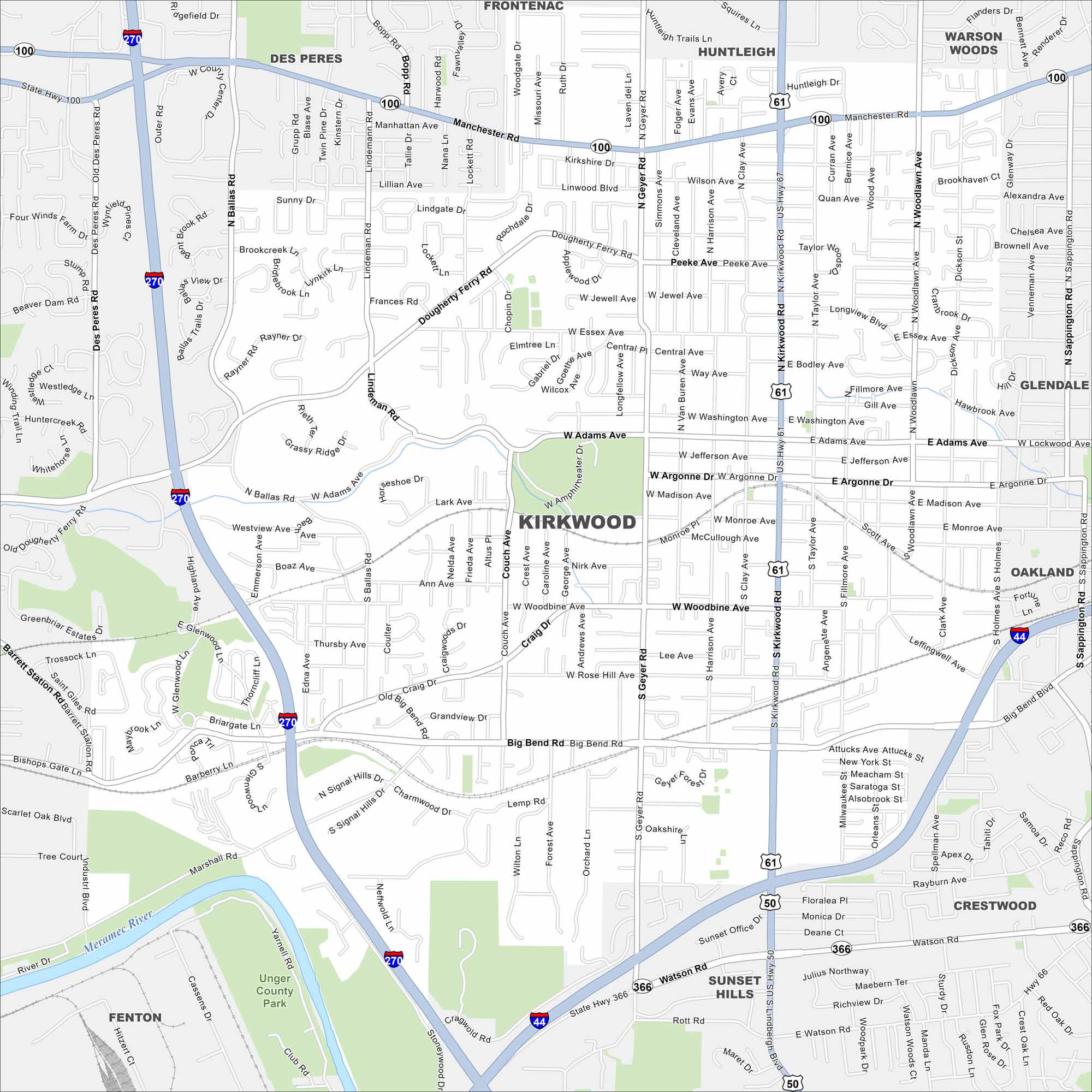
Our map of Kirkwood shows a leafy suburb west of St. Louis. Railroad tracks cut through the heart of downtown. The city spreads across gentle rolling hills.
Map Information
On the Map
Interstates/Highways: I-44, I-270, US Hwy 50, US Hwy 61, US Hwy 67, State Rte 100, State Rte 366 Major Roads: Kirkwood Rd, Lindbergh Blvd, Manchester Rd, Big Bend Rd, Geyer Rd, Watson Rd, Ballas Rd, Woodlawn Ave, Adams Ave, Argonne Dr, Woodbine Ave, Sappington Rd, Dougherty Ferry Rd, Essex Ave, Madison Ave, Monroe Ave, Loehr Rd, Berry Rd, Rott Rd, Marshall Rd Major Rivers: Meramec River Parks and Preserves: Unger County Park Nearby Communities: Des Peres, Frontenac, Huntleigh, Warson Woods, Glendale, Oakland, Crestwood, Sunset Hills, FentonMissouri State Maps
Check out state maps of the Show-Me State.


Missouri City Maps
Here are our city maps for Missouri


