Home » Maps » Satellite Map of Kentucky
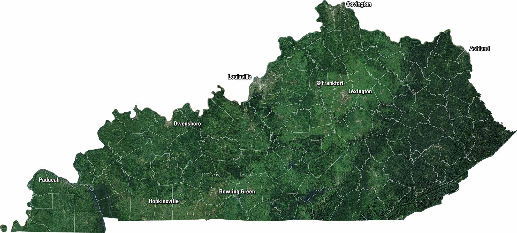
Satellite Map of Kentucky

Kentucky Satellite Map

Our satellite map of Kentucky displays its rolling hills, green valleys, and long stretches of forest. Coal country lies to the east, while horse farms spread wide in the Bluegrass region. Louisville and Lexington stand out among the winding rivers and farmland.

Map Information

  • State of Kentucky
  • Satellite Map of Kentucky with Landsat-8 Imagery
  • Free for personal and commercial purpose. Attribution is required. How to attribute?

Leave a Reply

Your email address will not be published. Required fields are marked *