Kentucky Outline Map
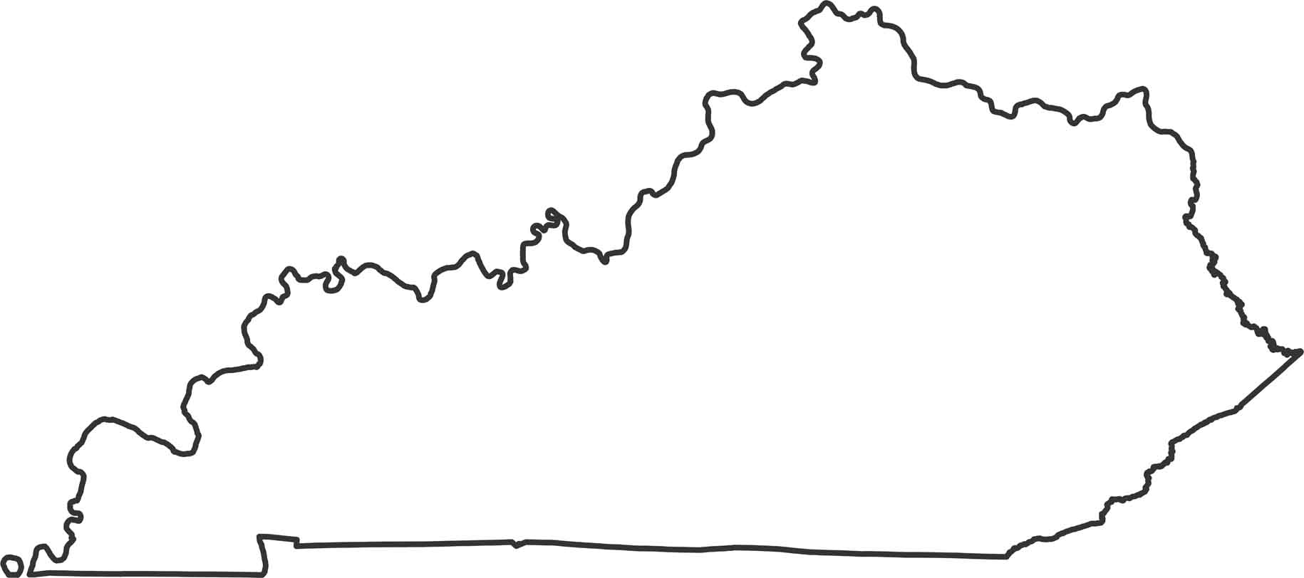
Our Kentucky outline map shows the boundary of the state. The northern border follows the Ohio River’s winding path. The western edge follows the Mississippi River briefly before cutting inland.
Map Information
State Outline Maps
Click on a map below to check out outline maps of each state.


Kentucky State Maps
Our Kentucky maps reveal the Bluegrass State


