Kansas Population Density Map
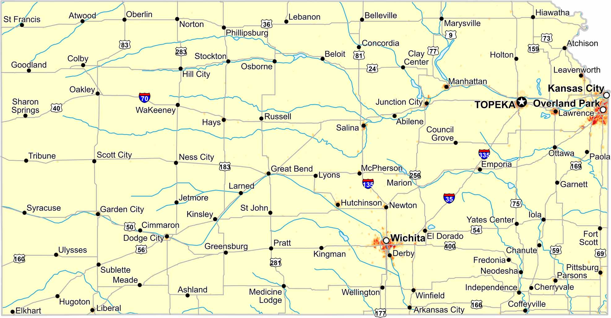
Check out our population density map of Kansas to see population thin across the plains. Distance matters here. One trend you’ll see is how eastern Kansas shows higher density than the west.
Map Information
Check out our population density map of Kansas to see population thin across the plains. Distance matters here. One trend you’ll see is how eastern Kansas shows higher density than the west.
Map Information