Kansas Physical Map
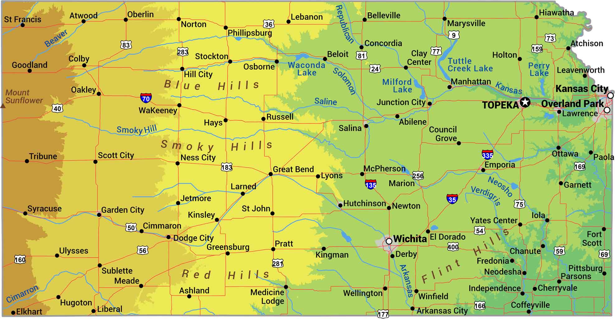
No matter what you’ve heard, Kansas isn’t completely flat. It really just slopes. The land rises gradually from east to west, climbing from 700 feet near the Missouri border to over 4,000 feet at the Colorado line. The Flint Hills in the east bring some roll to the prairie while the rest is High Plains grassland.
Map Information
On the Map
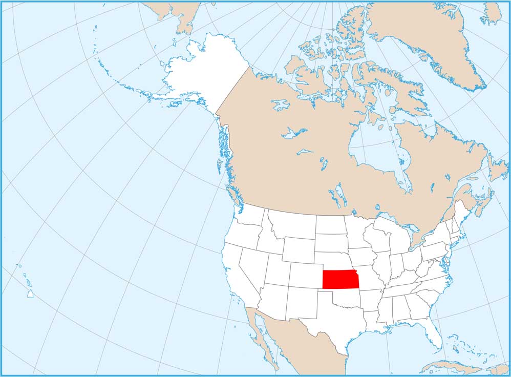
Physical State Maps
Select any state map below to view its physical map.


Kansas State Maps
Explore every corner of Kansas with our state maps


