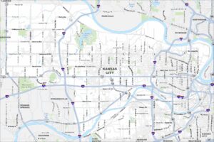
Map of Kansas City, Kansas
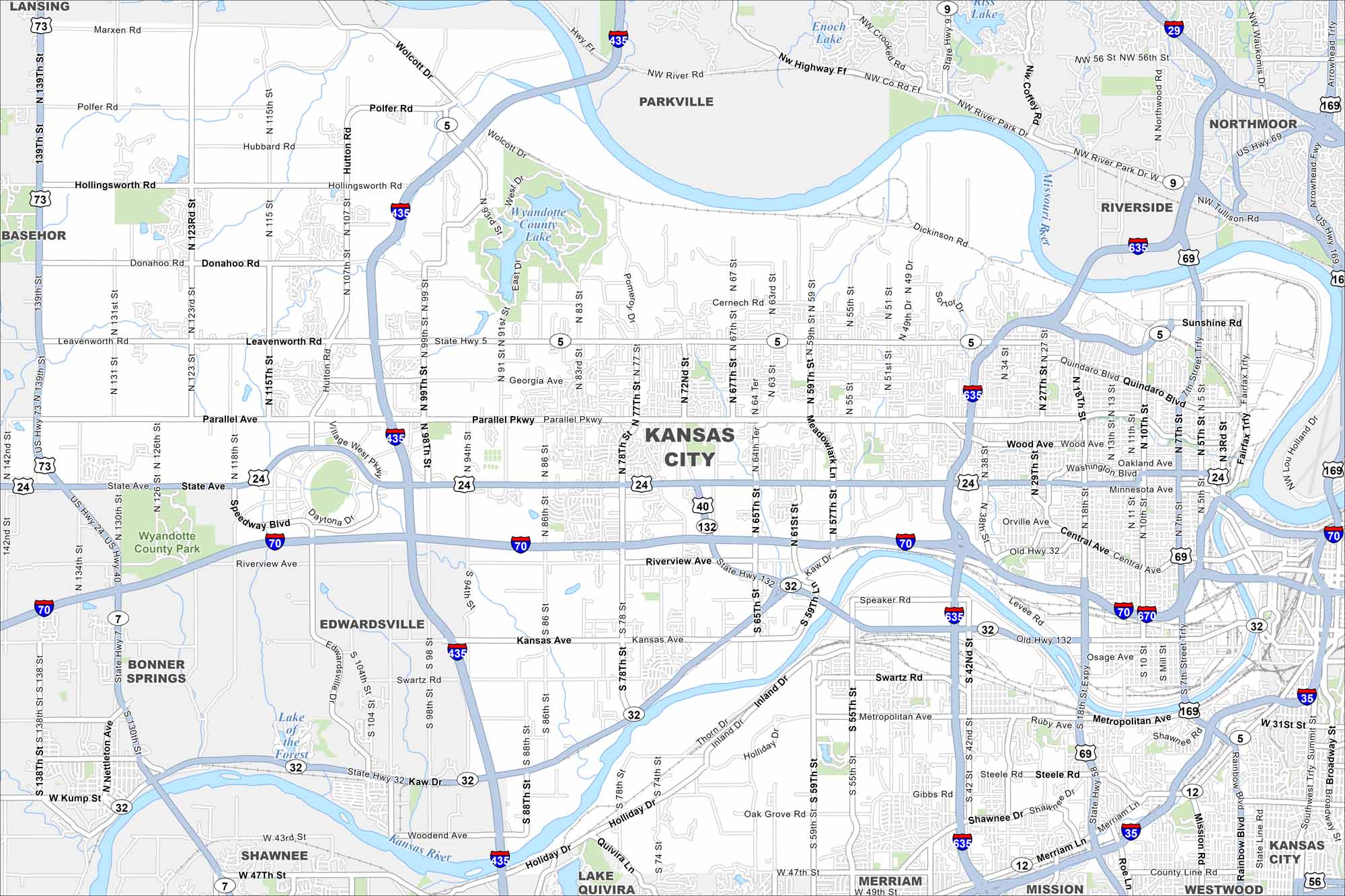
Our map shows Kansas City sitting at the junction of the Kansas and Missouri Rivers. Highways cross in every direction. The downtown core sits right along the state line.
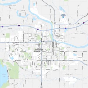
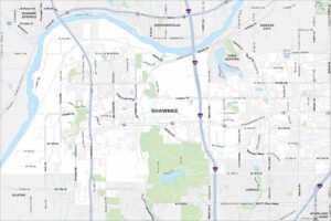
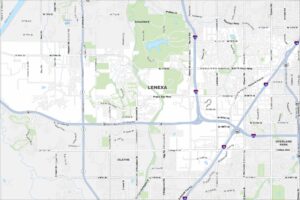
Kansas State Maps
Explore every corner of Kansas with our state maps


Map Information
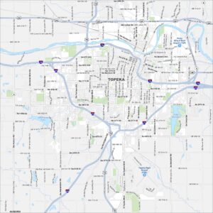
On the Map
Interstates/Highways: I-70, I-435, I-635, I-670, I-29, US Hwy 24, US Hwy 40, US Hwy 69, US Hwy 73, US Hwy 169, State Hwy 5, State Hwy 7, State Hwy 32, State Hwy 132 Major Roads: State Ave, Parallel Pkwy, Riverview Ave, Kansas Ave, Metropolitan Ave, Shawnee Dr, Central Ave, Leavenworth Rd, Washington Blvd, Quindaro Blvd, 7th St Trfy, 18th St, 55th St, 78th St, 94th St, 115th St, Holliday Dr, Swartz Rd, Merriam Ln, Roe Ave Lakes and Reservoirs: Wyandotte County Lake, Lake of the Forest, Lake Quivira, Enoch Lake Major Rivers: Missouri River, Kaw River, Kansas River Parks and Preserves: Wyandotte County Park Nearby Communities: Lansing, Basehor, Bonner Springs, Edwardsville, Shawnee, Lake Quivira, Merriam, Mission, Westwood, Riverside, Parkville, NorthmoorCity Maps of Kansas
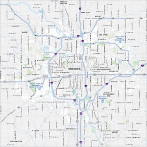
See our maps of Wichita and other urban centers