Home » Neighborhood Maps » Japantown Map, San Francisco

Japantown Map, San Francisco

Japantown Map San Francisco

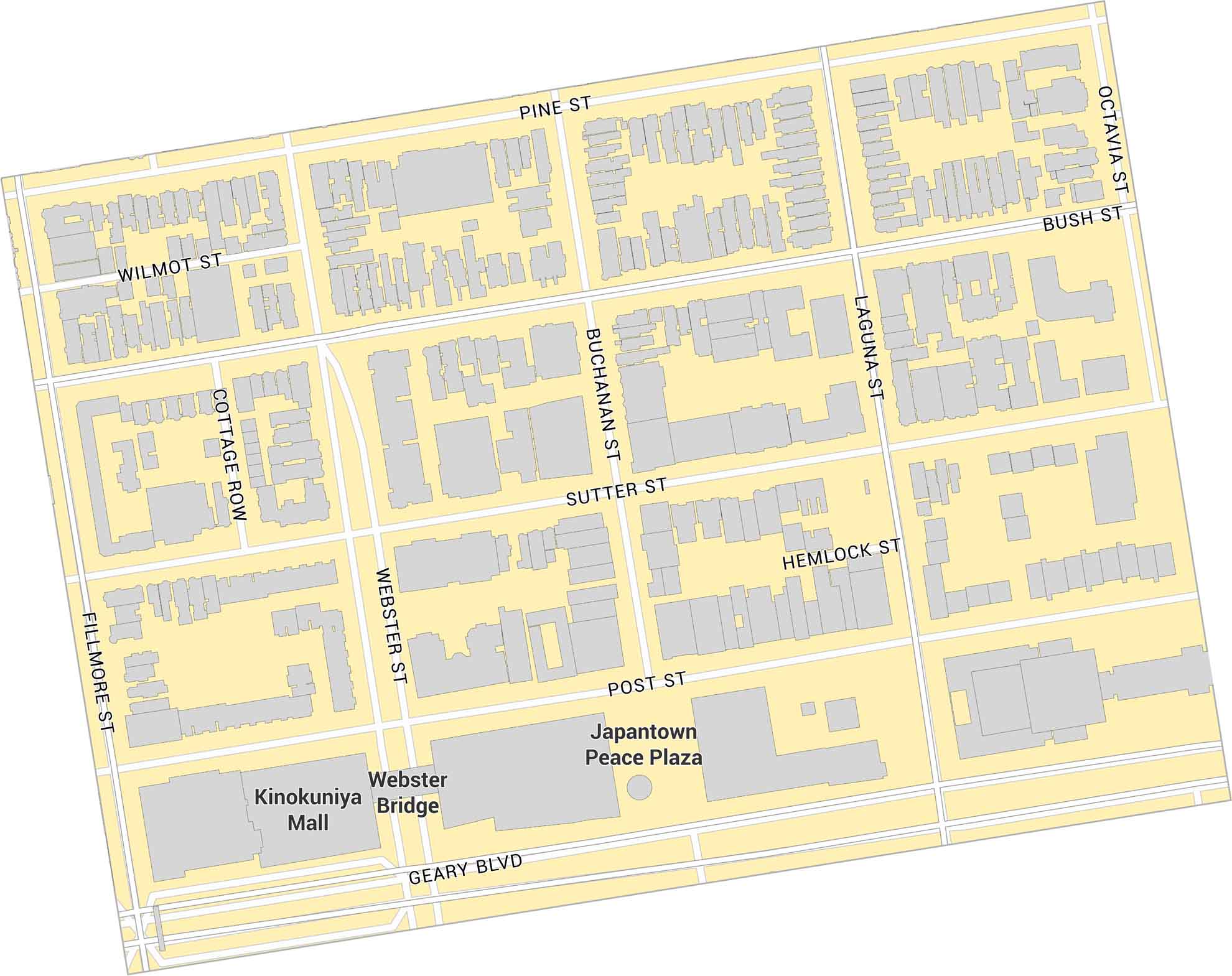
Japantown sits in central San Francisco, just west of Van Ness Avenue. This map shows its main plaza, surrounding streets, and nearby parks. It’s a small, historic district with a tight layout and local character in San Francisco.

Map Information

  • Japantown, San Francisco
  • Neighborhood Map of Japantown in San Francisco
  • Free for personal and commercial purpose. Attribution is required. How to attribute?

Leave a Reply

Your email address will not be published. Required fields are marked *