Iowa Outline Map
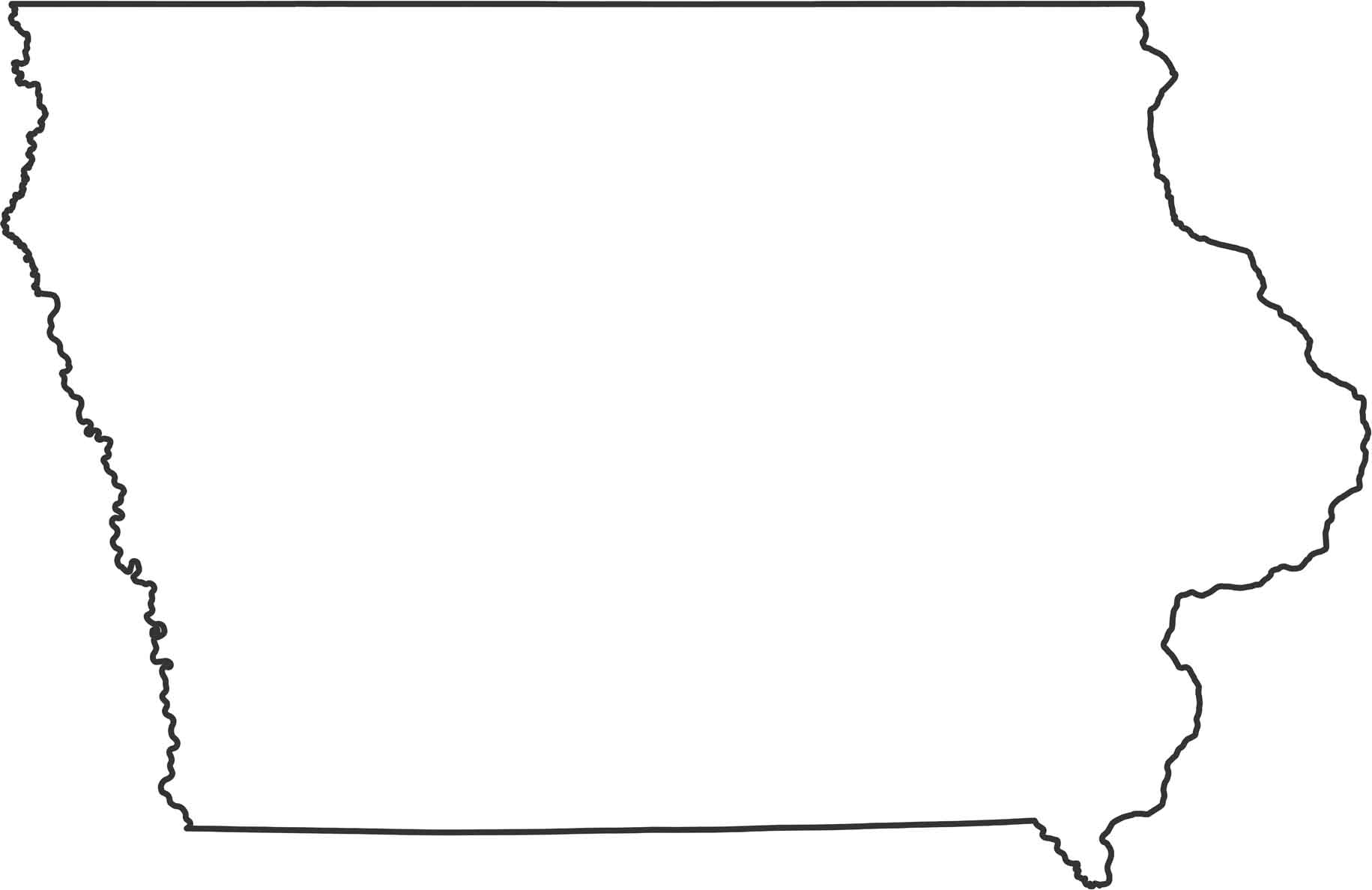
Two major rivers define this state’s shape of Iowa. The Mississippi River forms the eastern border, while the Missouri River is on the west side. The northern border with Minnesota and southern border with Missouri are mostly straight lines. Those river borders create the only curves in an otherwise boxy outline.
Map Information
State Outline Maps
Click on a map below to check out outline maps of each state.


