Satellite Map of Indiana
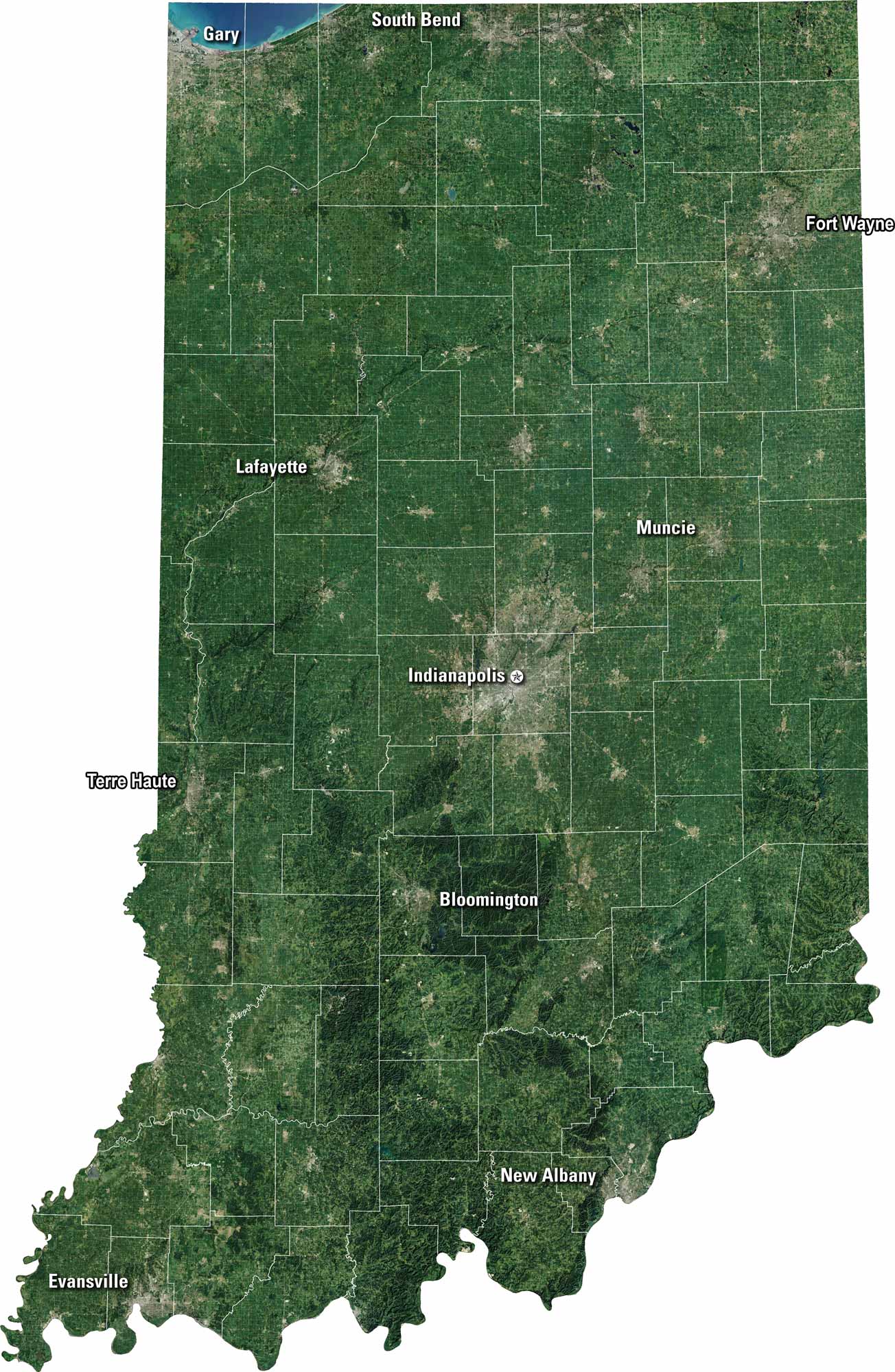
Indiana stretches from quiet farmland to bigger cities. Our satellite map shows it all. It has fields, forests, rivers, and roads tying the state together. You’ll spot Indianapolis at the center, but look closer and you’ll see lakes, rolling plains, and winding creeks. It’s a crossroads in every sense.
Map Information
On the Map
Neighboring State Maps
Find satellite map of neighboring states


