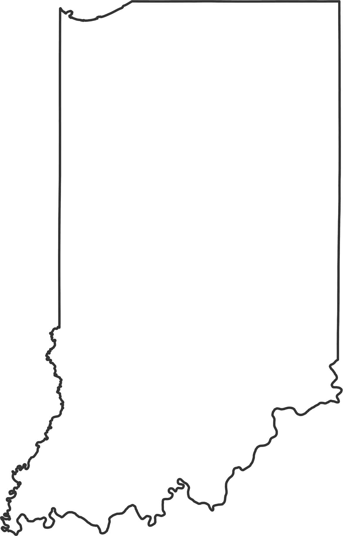
Indiana Outline Map

Our Indiana outline map shows the Ohio River creating the entire southern border with Kentucky. Lake Michigan cuts into the northwest corner, giving Indiana a short but valuable coastline. The western border with Illinois and eastern border with Ohio are straight surveyed lines.
Map Information
