Map of Independence, Missouri
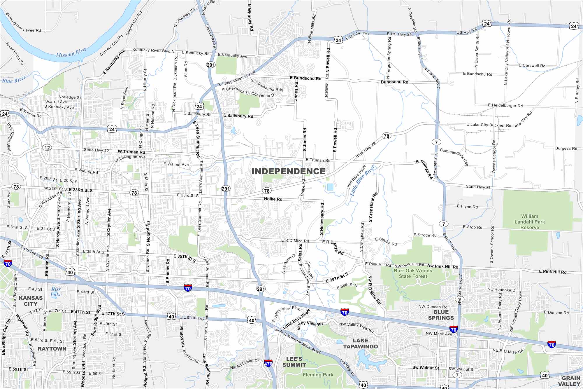
Our map of Independence shows its highways and rail lines that run through its historic center. It’s situated just east of Kansas City. The Truman Presidential Library is a clear landmark.
Map Information
On the Map
Interstates/Highways: I-70, I-470, US Hwy 24, US Hwy 40, State Rte 7, State Rte 12, State Rte 78, State Rte 291 Major Roads: Noland Rd, Truman Rd, Lee’s Summit Rd, 23rd St, 39th St, 35th St, Main St, Salisbury Rd, Holke Rd, Bundschu Rd, Kentucky Rd, Chrysler Ave, Sterling Ave, Blue Ridge Blvd, Winner Rd, Liberty St, Lexington Ave, Necessary Rd, Mize Rd, Powell Rd Lakes and Reservoirs: Riss Lake Major Rivers: Missouri River, Little Blue River Parks and Preserves: Burr Oak Woods State Forest, William Landahl Park Reserve, Fleming Park Nearby Communities: Kansas City, Blue Springs, Lee’s Summit, Raytown, Lake Tapawingo, Grain ValleyMissouri State Maps
Check out state maps of the Show-Me State.


Missouri City Maps
Here are our city maps for Missouri


