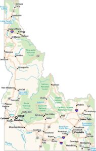
Home » State Maps » Idaho Physical Map

Idaho Physical Map

Idaho Physical Map

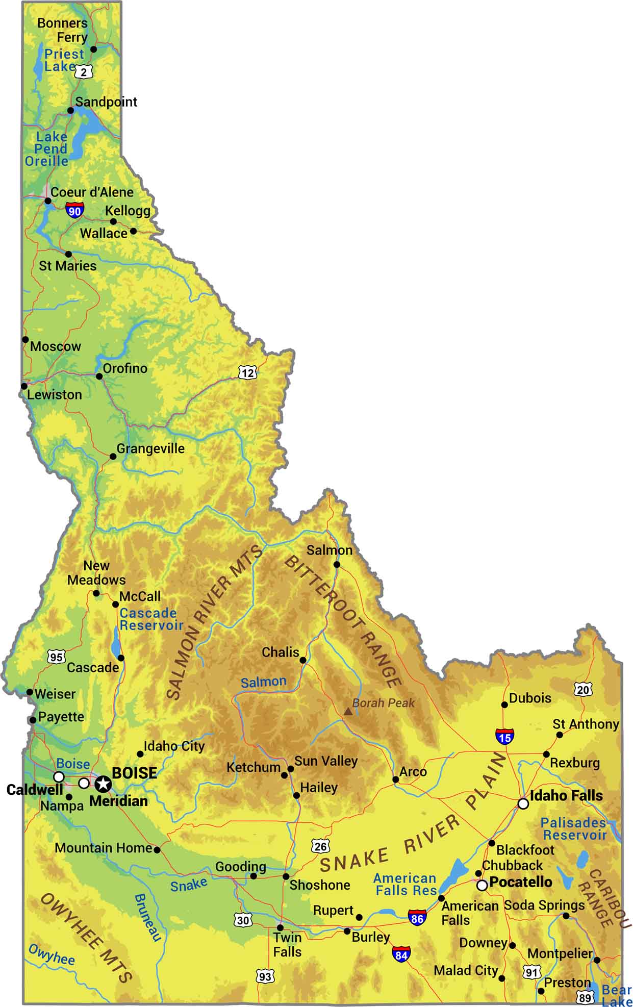
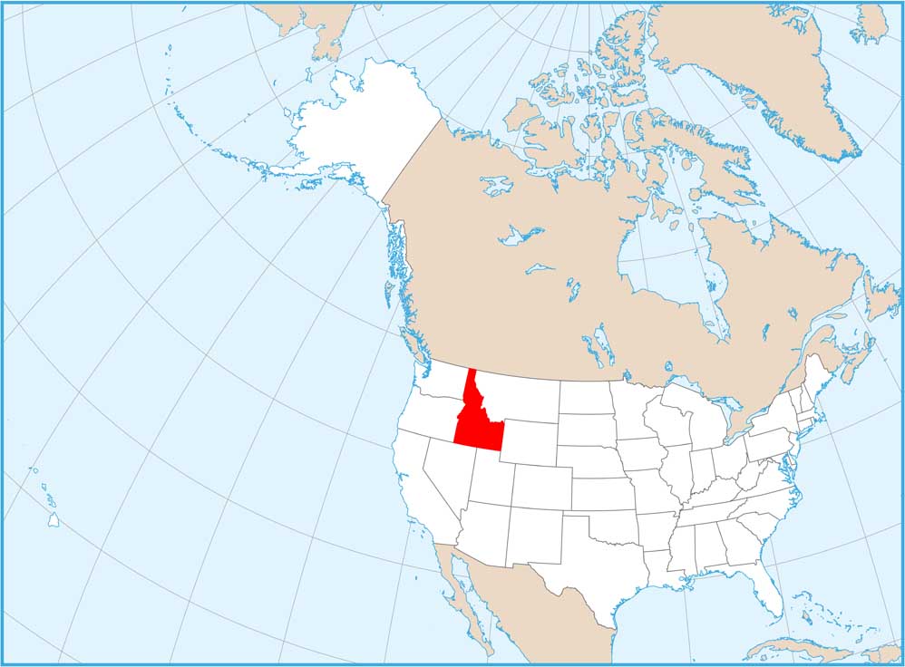
There’s more to Idaho than potatoes. It’s actually one of the most mountainous states in the country. The Rockies dominate with ranges like the Bitterroot. The Snake River carves a massive plain through the south, and this is where you can find most of the farmland. Our Idaho physical map shows its rugged backcountry and terrain.

Map Information

  • State of Idaho
  • Physical Map of Idaho
  • Free for personal and commercial purpose. Attribution is required. How to attribute?

On the Map

Idaho Location Map
Physical Features: Bitterroot Range, Salmon River Mts, Owyhee Mts, Snake River Plain, Caribou Range, Borah Peak State Capital: Boise Major Cities: Caldwell, Coeur d’Alene, Idaho Falls, Lewiston, Meridian, Nampa, Pocatello, Twin Falls Cities and Towns: American Falls, Arco, Blackfoot, Bonners Ferry, Burley, Cascade, Challis, Chubbuck, Downey, Dubois, Gooding, Grangeville, Hailey, Idaho City, Kellogg, Ketchum, Malad City, McCall, Montpelier, Moscow, Mountain Home, New Meadows, Orofino, Payette, Preston, Rexburg, Rupert, Salmon, Sandpoint, Shoshone, Soda Springs, St Anthony, St Maries, Sun Valley, Wallace, Weiser Interstate Highways: I-15, I-84, I-86, I-90 US Routes: US-2, US-12, US-20, US-26, US-30, US-89, US-91, US-93, US-95 Lakes and Reservoirs: American Falls Reservoir, Bear Lake, Cascade Reservoir, Lake Pend Oreille, Palisades Reservoir, Priest Lake Rivers and Streams: Boise River, Owyhee River, Salmon River, Snake River

References

  1. Shuttle Radar Topography Mission Elevation
  2. National Map TopoBuilder Application

Leave a Reply

Your email address will not be published. Required fields are marked *