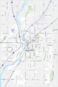
Map of Idaho Falls, Idaho
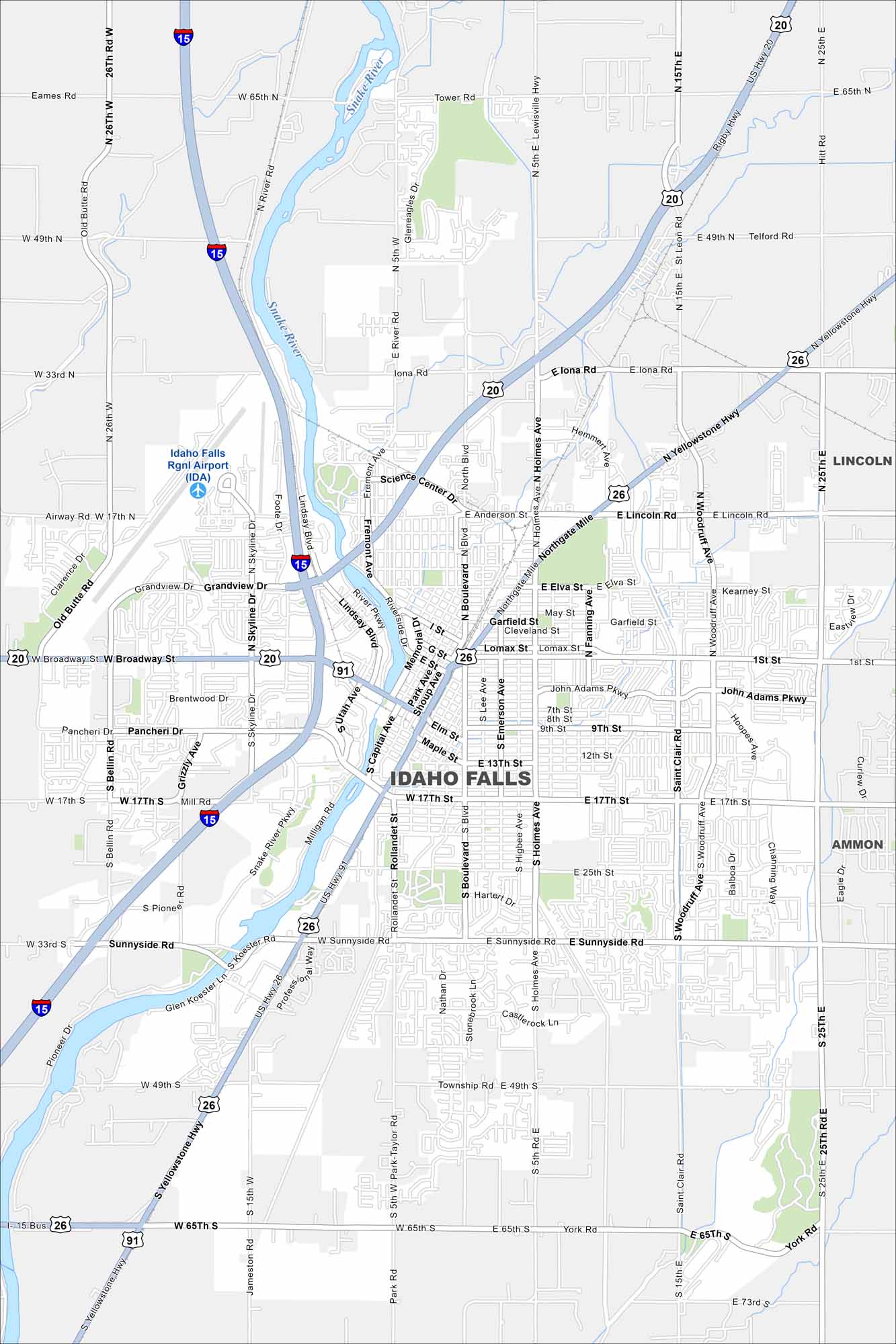
Explore our map of Idaho Falls on the Snake River. The falls themselves cut right through town. From there, highways lead into wide stretches of farmland.


Map Information
On the Map
Interstates/Highways: I-15, US Hwy 20, US Hwy 26, US Hwy 91 Major Roads: Broadway St, 17th St, Sunnyside Rd, Yellowstone Hwy, Woodruff Ave, Holmes Ave, Boulevard Ave, Skyline Dr, Grandview Dr, Northgate Mile, Pancheri Dr, Anderson St, Iona Rd, 15th E, 25th E, 49th S, 65th S, York Rd, Bellin Rd, Saturn Ave Airports: Idaho Falls Rgnl Airport (IDA) Major Rivers: Snake River Nearby Communities: Lincoln, AmmonIdaho City Maps
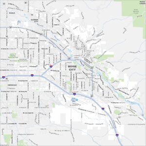
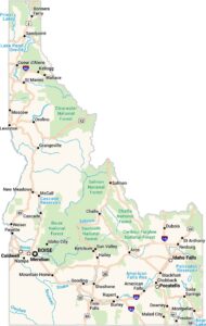
Boise and Idaho city maps right when you need them most