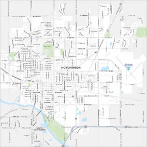
Map of Hutchinson, Kansas
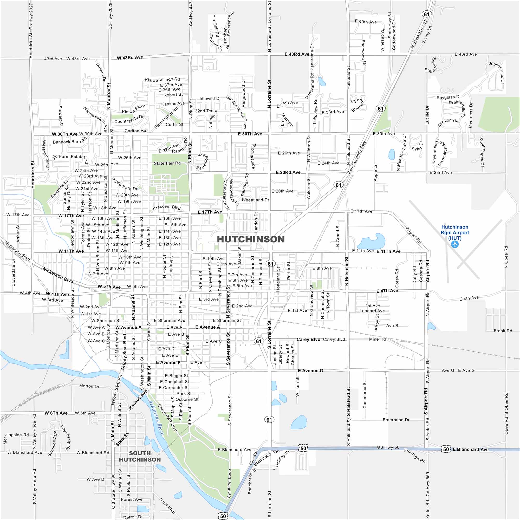
Our map of Hutchinson shows it along the Arkansas River Valley. Highways connect farmland directly to the city grid. The state fairgrounds are a landmark here.
Kansas State Maps
Explore every corner of Kansas with our state maps


Map Information
On the Map
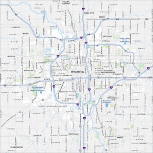
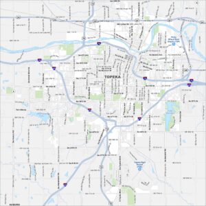
Interstates/Highways: US Hwy 50, State Hwy 61, State Hwy 96 Major Roads: 30th Ave, 11th Ave, 4th Ave, 17th Ave, 43rd Ave, 23rd Ave, Main St, Plum St, Lorraine St, Halstead St, Severance St, Airport Rd, Monroe St, Adams St, Poplar St, Whiteside St, Hendricks St, Obee Rd, Blanchard Ave, Avenue G Airports: Hutchinson Rgnl Airport (HUT) Major Rivers: Arkansas River Nearby Communities: South HutchinsonCity Maps of Kansas
See our maps of Wichita and other urban centers