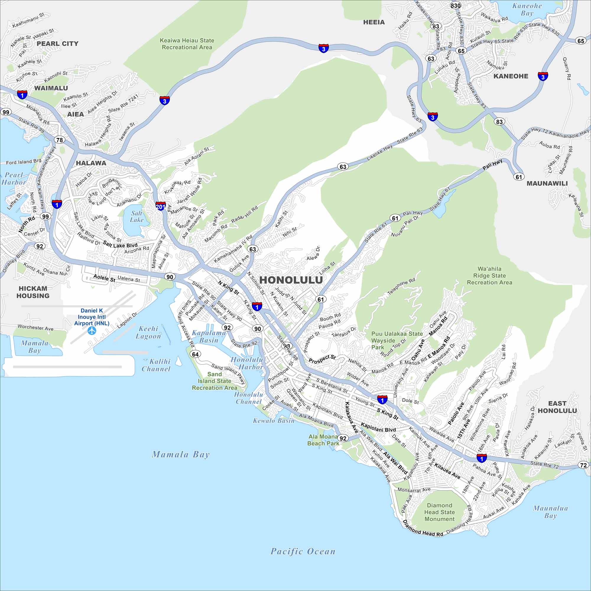
On the Map
Interstates/Highways: I-1, I-3, I-201, State Hwy 61, State Hwy 63, State Hwy 65, State Hwy 72, State Hwy 83, State Hwy 90, State Hwy 92, State Hwy 98, State Hwy 99, State Hwy 630, State Hwy 7241, State Rte 72, State Rte 90, State Rte 92, State Rte 99, Nimitz Hwy, Pali Hwy, Likelike Hwy, Kamehameha Hwy
Major Roads: Ala Moana Blvd, Kalakaua Ave, King St, Beretania St, Kapiolani Blvd, Dillingham Blvd, Sand Island Pkwy, Salt Lake Blvd, University Ave, Kalanianaole Hwy, Puuloa Rd, Lagoon Dr, Monsarrat Ave, Diamond Head Rd, Wilder Ave, McCully St
Airports: Daniel K Inouye Intl Airport (HNL)
Lakes and Reservoirs: Pacific Ocean, Mamala Bay, Kaneohe Bay, Maunalua Bay, Keehi Lagoon, Kapalama Basin, Honolulu Harbor, Kewalo Basin, Salt Lake
Parks and Preserves: Keaiwa Heiau State Recreational Area, Wa’ahila Ridge State Recreation Area, Ala Moana Beach Park, Diamond Head State Monument, Puu Ualakaa State Wayside Park, Sand Island State Recreation Area
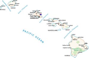
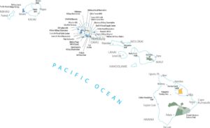
Nearby Communities: Pearl City, Kaneohe, Aiea, Halawa, Waimalu, Heeia, Maunawili, East Honolulu, Hickam Housing