Historic District Map, Charleston
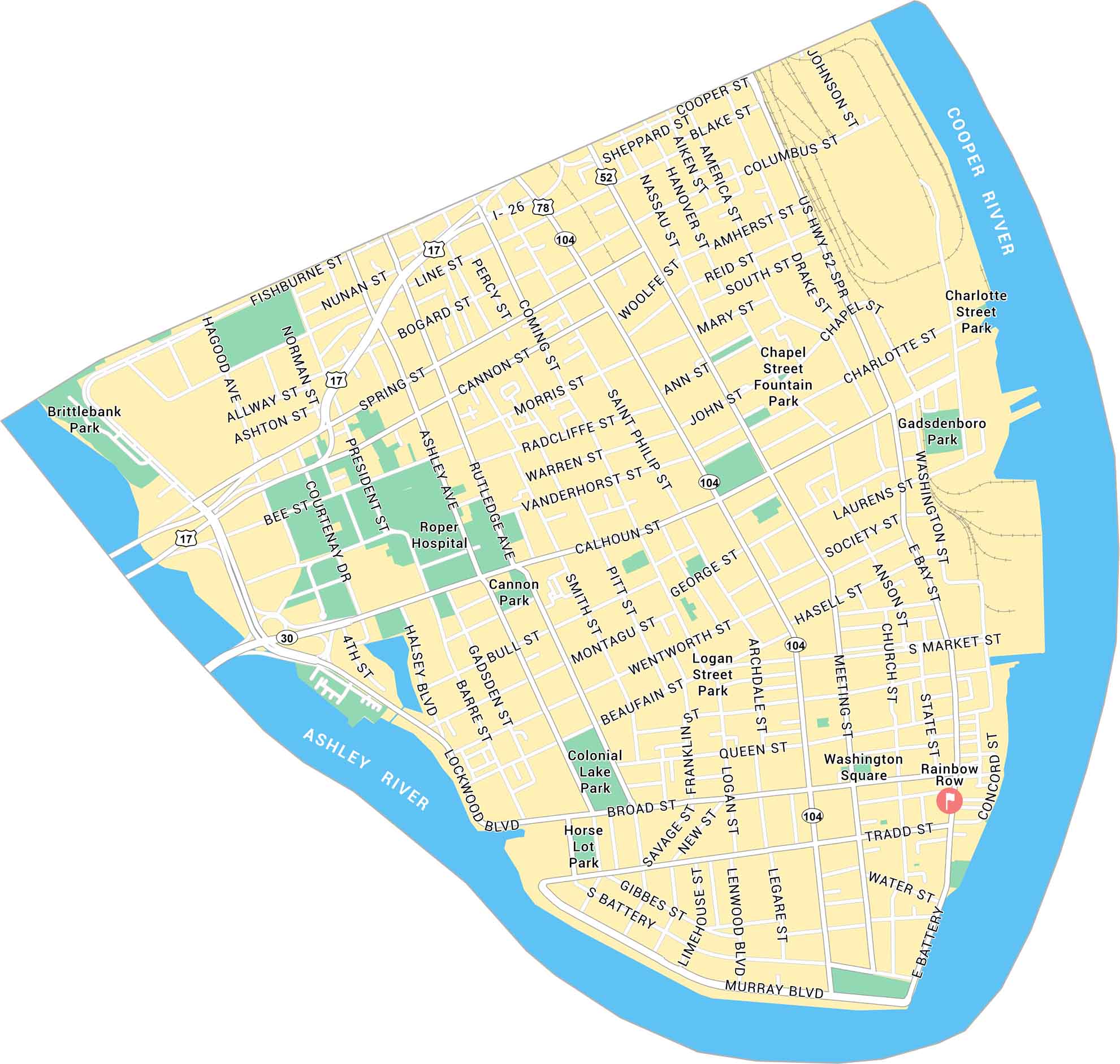
Charleston’s Historic District sits at the tip of the peninsula, where the Ashley and Cooper Rivers meet. This map shows its streets, waterfront, and parks.
Map Information
Charleston’s Historic District sits at the tip of the peninsula, where the Ashley and Cooper Rivers meet. This map shows its streets, waterfront, and parks.
Map Information