Map of Herndon, Virginia
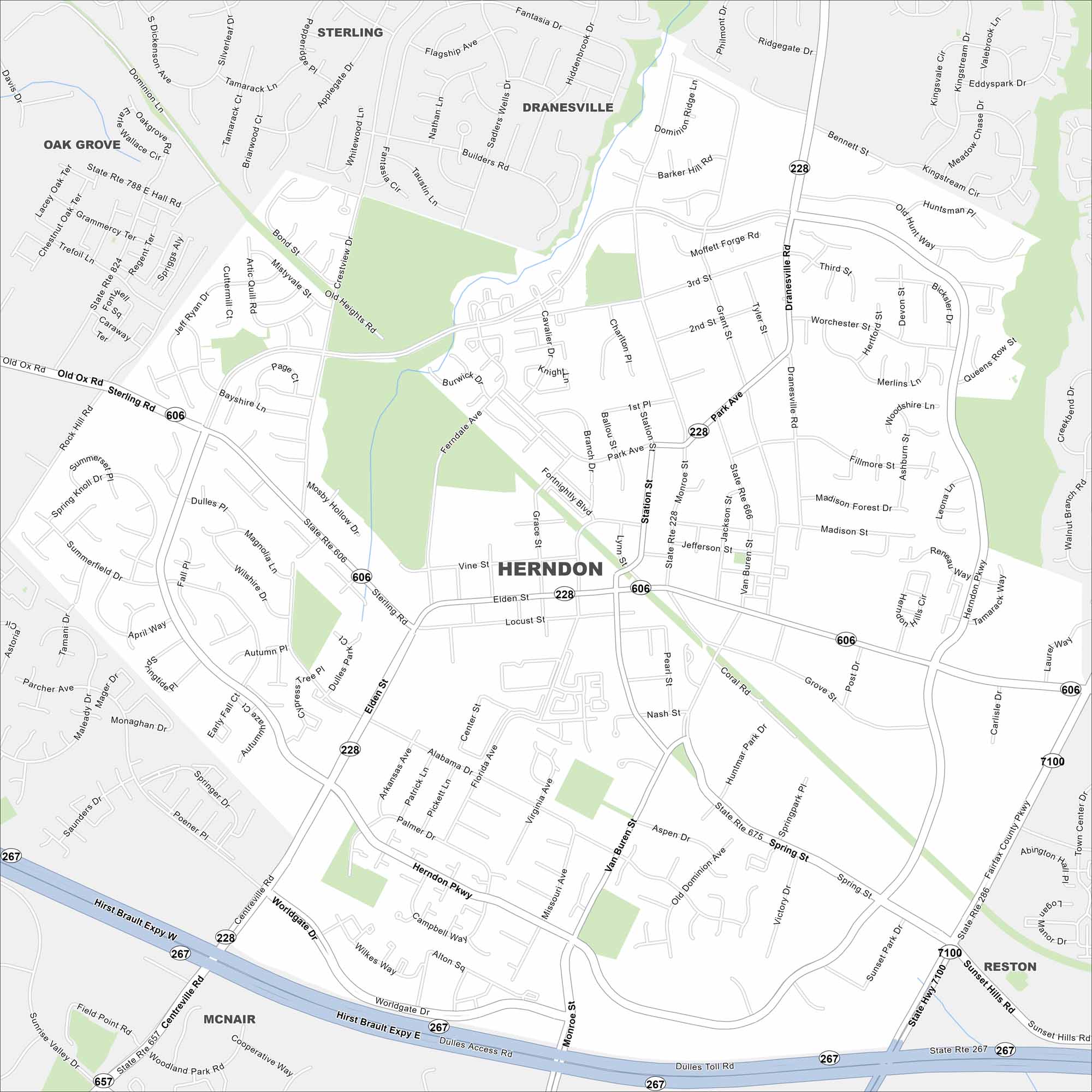
Herndon is just west of Washington, D.C., near Dulles Airport. This map shows its streets branching from the Dulles Toll Road in the south. Creeks and wooded patches are a common sight.
Map Information
On the Map
Interstates/Highways: State Rte 606, State Rte 657, State Rte 286, State Rte 228, State Rte 267 Major Roads: Elden St, Herndon Pkwy, Sterling Rd, Dranesville Rd, Centreville Rd, Van Buren St, Monroe St, Fairfax County Pkwy, Dulles Access Rd, Dulles Toll Rd, Sunset Hills Rd, Worldgate Dr, Park Ave, Station St, Spring St, Florida Ave, Alabama Dr, Park Ave, Lynn St, Grace St Nearby Communities: Oak Grove, Sterling, Dranesville, Reston, McNairVirginia State Maps
Spanning coasts and mountains, here are our maps of Virginia.


City Maps of Virginia
Traverse Virginia using our city maps


