Map of Hays, Kansas
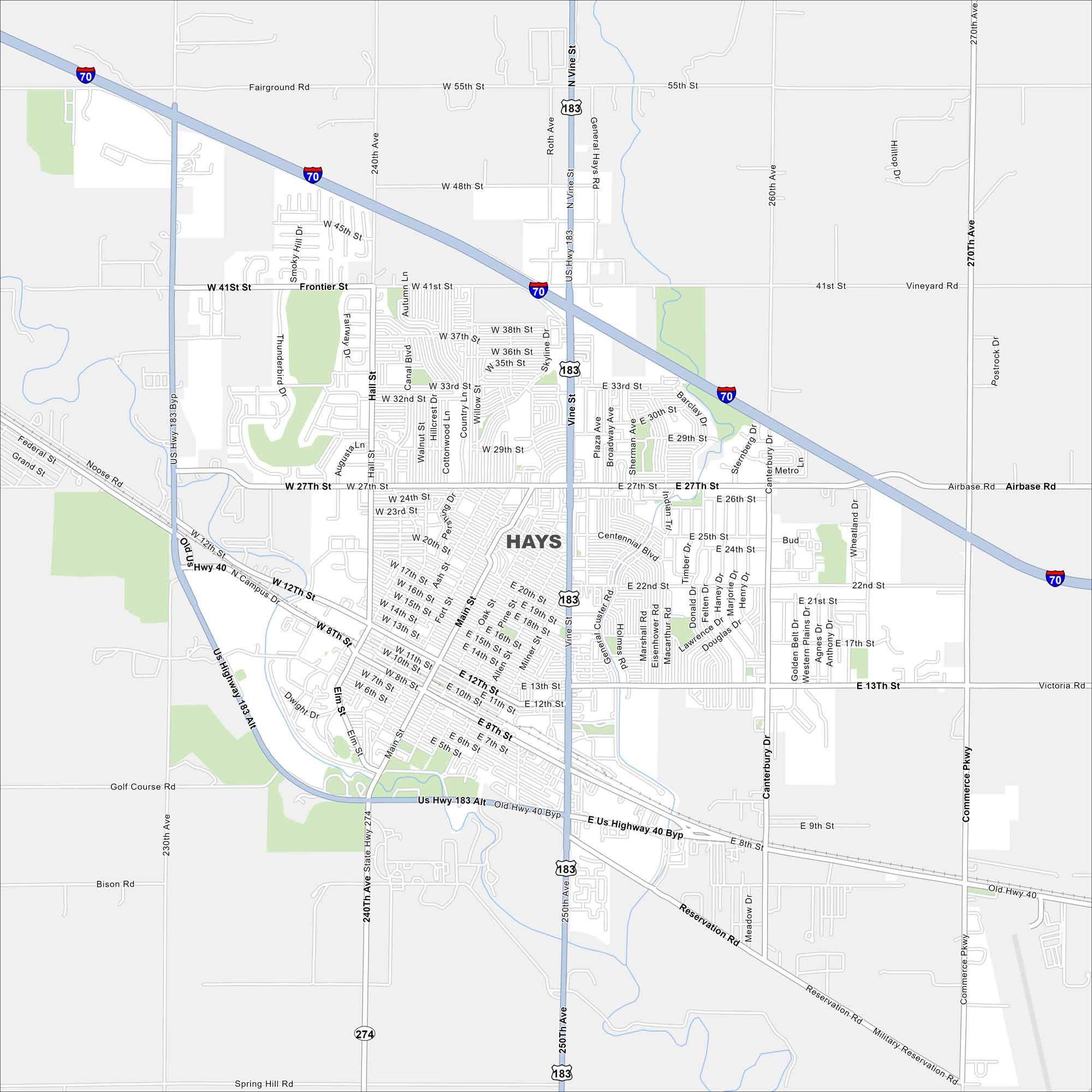
Hays is in western Kansas along Interstate 70. It’s surrounded by open prairie land. Our map of Hays shows its rivers, lakes and roads. Because it sits on a main highway, it serves as a stopover between Denver and Kansas City.
Kansas State Maps
Explore every corner of Kansas with our state maps


Map Information
On the Map
Interstates/Highways: I-70, US Hwy 183, US Hwy 183 Alt, US Hwy 40 Byp, State Hwy 274 Major Roads: Vine St, 27th St, 13th St, 41st St, 8th St, 48th St, 55th St, General Hays Rd, Canterbury Dr, Commerce Pkwy, Hall St, Main St, Elm St, Postrock Rd, Vineyard Rd, Reservation Rd, Military Reservation Rd, Mopar Dr, Airbase Rd, Old Hwy 40City Maps of Kansas
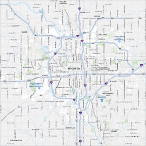
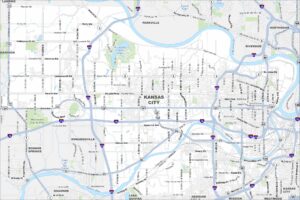
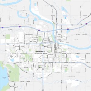
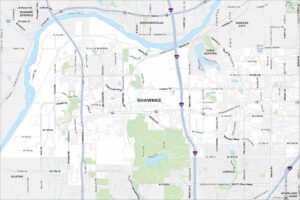
See our maps of Wichita and other urban centers