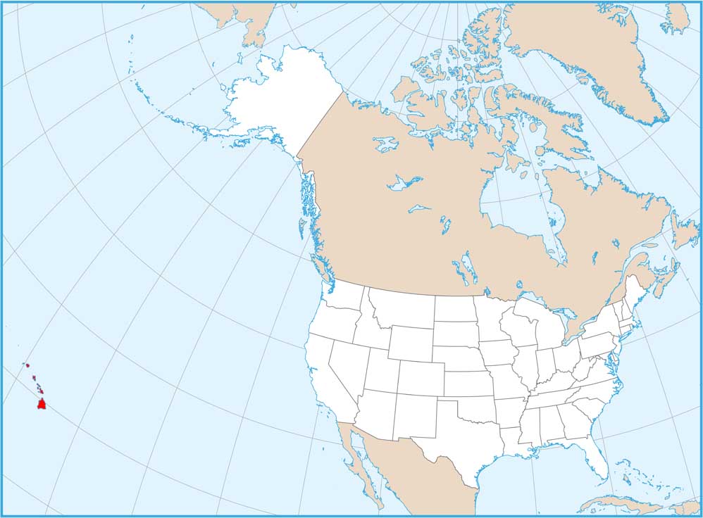
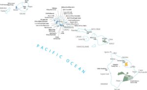
Map of Hawaii
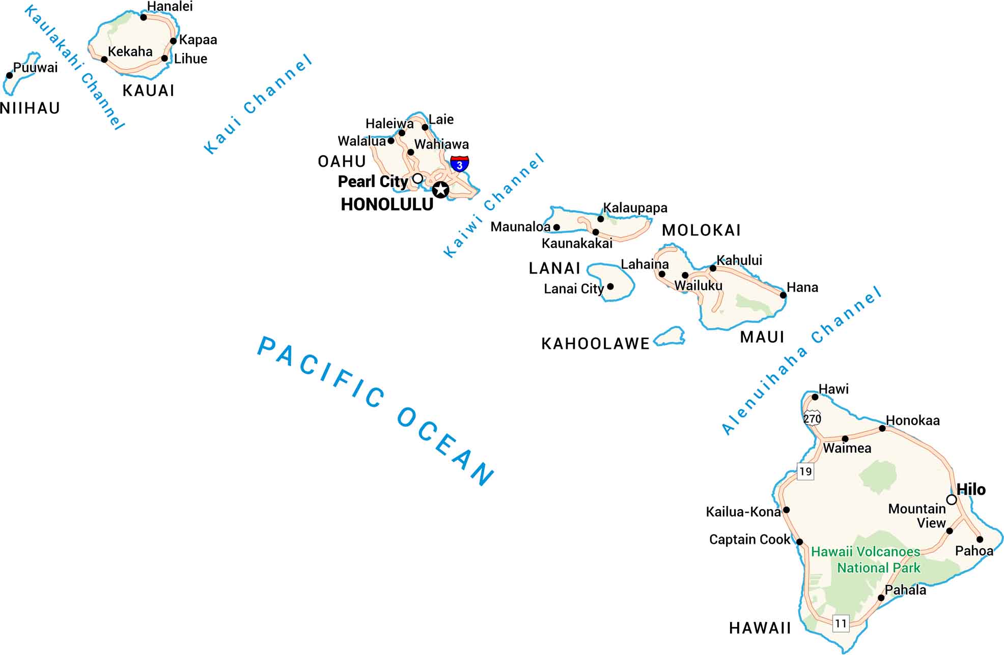
Here’s a map of Hawaii worth keeping. Every island, from Kauai to the Big Island, comes to life. You can see its channels, towns, and coastal roads.
Hawaii State Maps
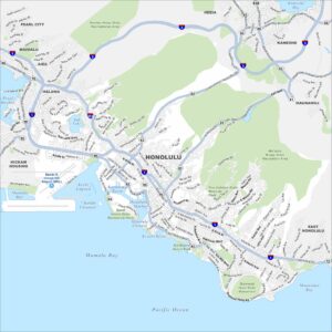
All the essential Hawaii maps you need are below


Map Information
On the Map