Map of Harrisonburg, Virginia
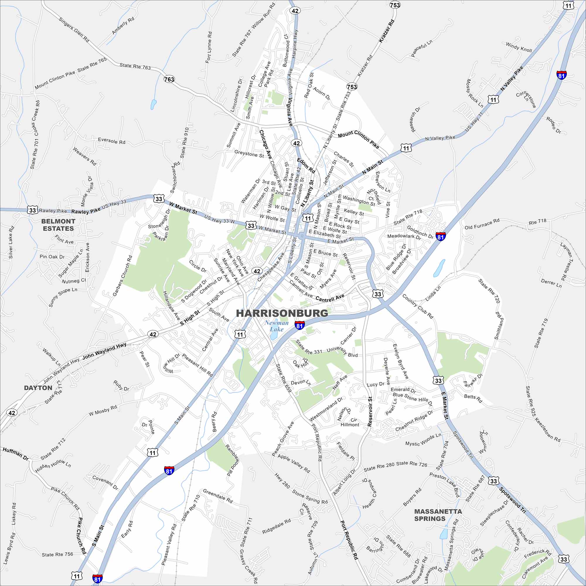
Harrisonburg rests in the Shenandoah Valley of Virginia. Mountains rise on both sides of the valley here. Interstate 81 and US-33 cross here.
Map Information
On the Map
Interstates/Highways: I-81, US Hwy 33, US Hwy 11, State Rte 42 Major Roads: Market St, Main St, Rawley Pike, Stone Spring Rd, Port Republic Rd, University Blvd, Cantrell Ave, Chicago Ave, Liberty St, Mason St, Reservoir St, Erickson Ave, Garbers Church Rd, Sunny Slope Ln, High St, Maryland Ave, South Ave, Neff Ave, Evelyn Byrd Ave, Country Club Rd Lakes and Reservoirs: Newman Lake Nearby Communities: Belmont Estates, Dayton, Massanetta SpringsVirginia State Maps
Spanning coasts and mountains, here are our maps of Virginia.


City Maps of Virginia
Traverse Virginia using our city maps


