Map of Grandview, Missouri
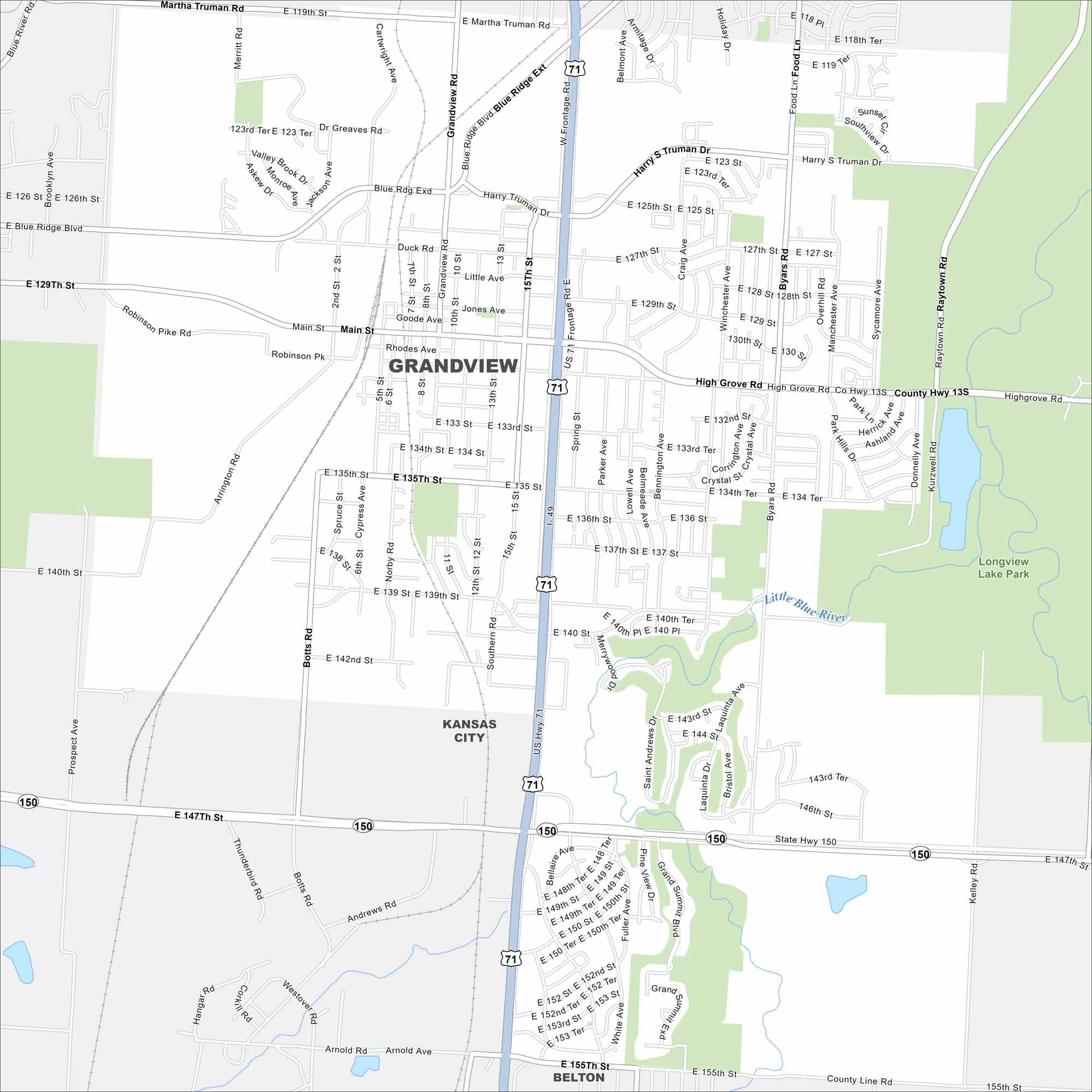
Grandview is a suburb just south of Kansas City. This map highlights its street grid, parks, and nearby highways. Its location makes it closely tied to the greater metro area.
Map Information
On the Map
Interstates/Highways: I-49, US Hwy 71, State Rte 150 Major Roads: Main St, Blue Ridge Blvd, Truman Rd, High Grove Rd, 140th St, 150th St, Grandview Rd, Botts Rd, 15th St, 155th St, Raytown Rd, Byars Rd, Belvidere Rd, Martha Truman Rd, Duck Rd, Rhodes Ave, Goode Ave, 129th St, 135th St, 147th St Major Rivers: Little Blue River Parks and Preserves: Longview Lake Park Nearby Communities: Kansas City, BeltonMissouri State Maps
Check out state maps of the Show-Me State.


Missouri City Maps
Here are our city maps for Missouri


