Map of Georgetown, Kentucky
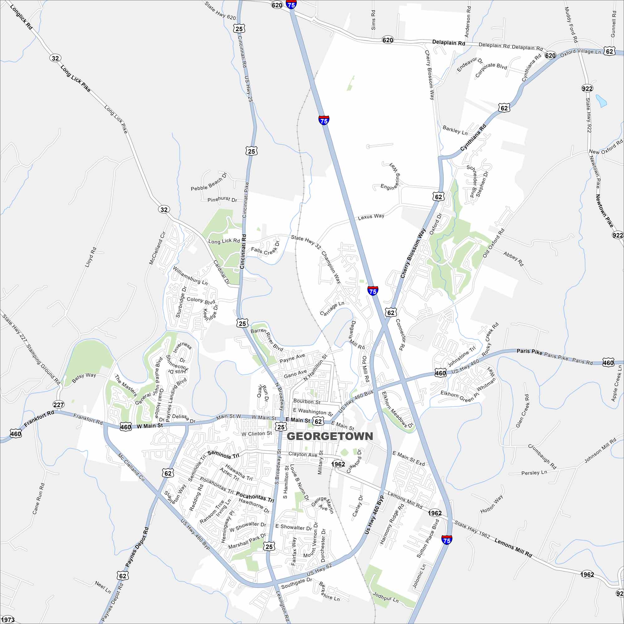
We’ve mapped out Georgetown with its main streets, highways, and nearby waterways. Our map shows how roads flow around parks and open land. It is home to Kentucky horse country and rolling hills.
Kentucky State Maps
Our Kentucky maps reveal the Bluegrass State


Map Information
On the Map
Interstates/Highways: I-75, US Hwy 25, US Hwy 460, US Hwy 62, State Rte 32, State Rte 227, State Rte 620, State Rte 922, State Rte 1962, State Rte 1973 Major Roads: Main St, Broadway, Clinton St, Washington St, Paris Pike, Frankfort Rd, Cherry Blossom Way, US Hwy 460 Byp, McClelland Cir, Paynes Depot Rd, Lemons Mill Rd, Cincinnati Pike, Long Lick Pike, Champion Way, Connector Rd, Iron Works Rd, Muddy Ford Rd, Delaplain Rd, Moon Lake Rd, Jodhpur LnCity Maps of Kentucky
Here are Kentucky’s cities in full detail