Satellite Map of Florida
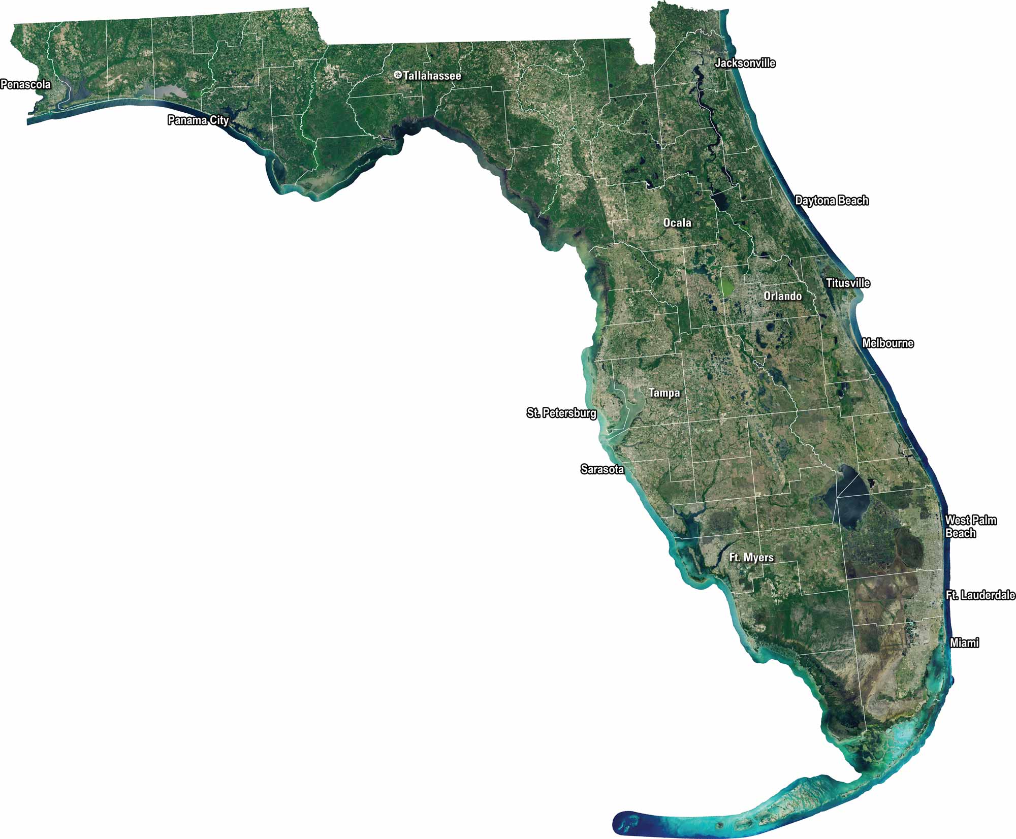
Florida shines bright from above with its blue coasts, green wetlands, and sprawling cities. Our satellite map captures every curve of the peninsula, from the Keys to the Panhandle. You’ll see Miami’s dense grid, the Everglades’ vast swamps, and stretches of white-sand beaches.
Map Information
On the Map
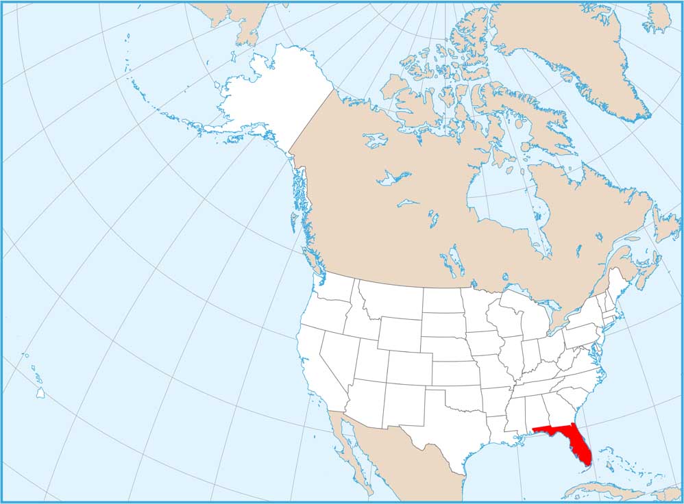
Neighboring State Maps
Find satellite map of neighboring states

