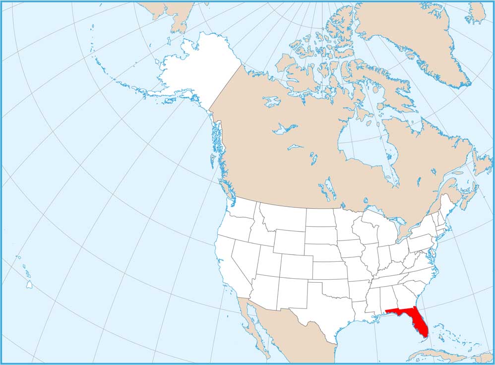
Florida Physical Map

Our Florida physical map shows a state that’s basically flat. Swamps and wetlands fill the interior while beaches wrap around over 1,350 miles of coastline. The Everglades take up the south and the Keys spill out into the Gulf. This is a peninsula where water matters more than elevation.
Map Information
On the Map
Physical State Maps
Select any state map below to view its physical map.


Florida State Maps
Discover Florida through our state maps


