Map of Evanston, Illinois
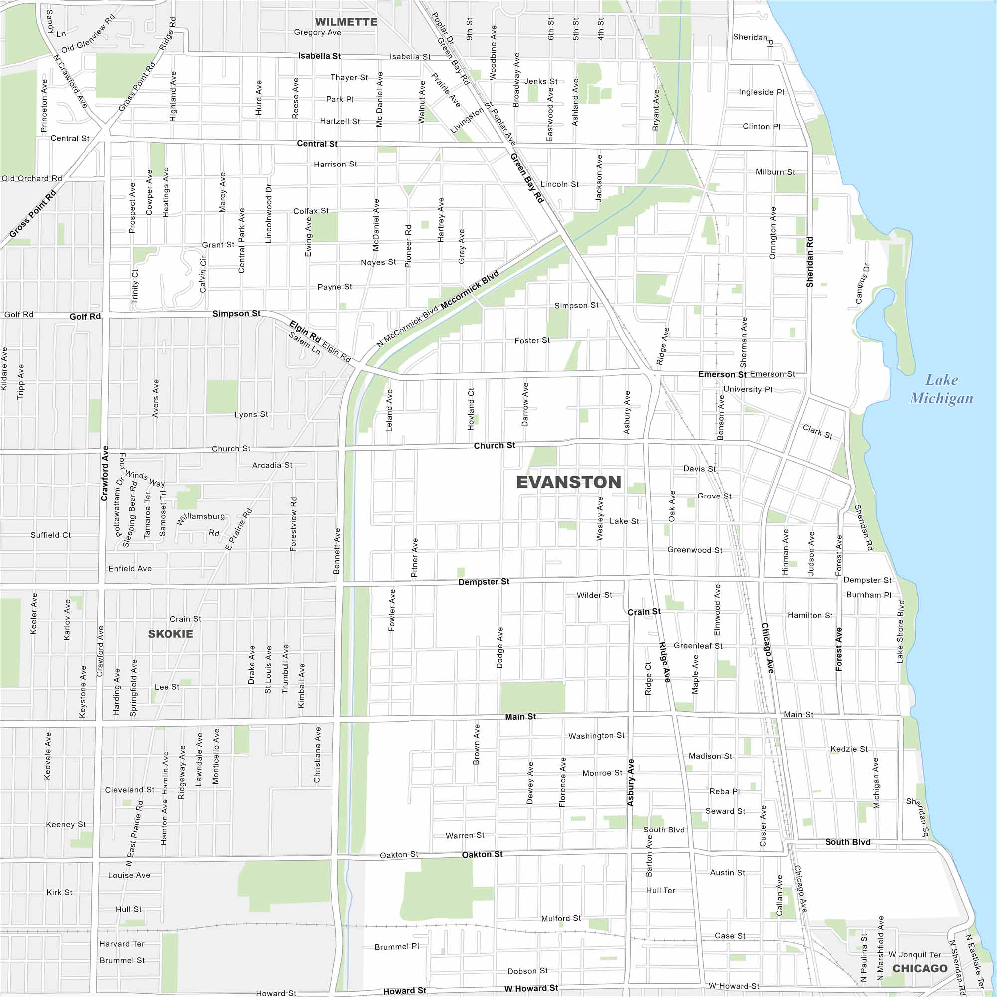
Evanston is on the Lake Michigan shoreline just north of Chicago. The road network runs straight into the lake. The long waterfront makes it easy to place.
Illinois State Maps
Get to know Illinois with our state maps


Map Information
On the Map
Interstates/Highways: I-94 Major Roads: Dempster St, Main St, Central St, Golf Rd, McCormick Blvd, Ridge Ave, Sheridan Rd, Lake St, Green Bay Rd, Oakton St, Howard St, Church St, Emerson St, Simpson St, Crawford Ave, Asbury Ave, Dodge Ave, Chicago Ave, Skokie Blvd, Gross Point Rd Lakes and Reservoirs: Lake Michigan Nearby Communities: Wilmette, Skokie, ChicagoIllinois City Maps
Explore Chicago and urban regions of Illinois


